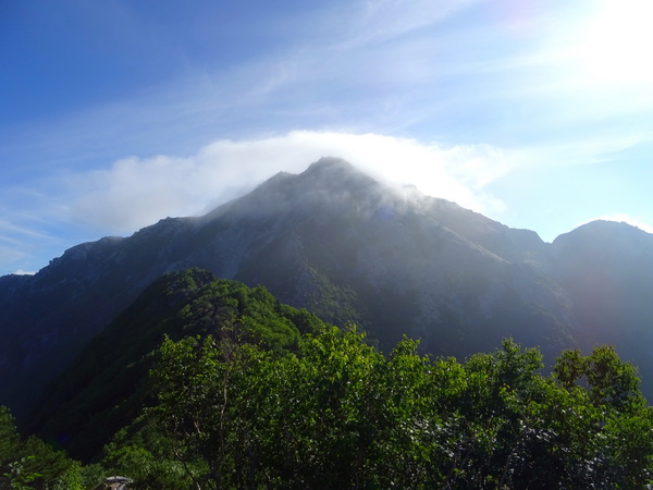
Above, Mt. Kaikoma.
Our goal, for August 10th and 11th, was to get up both Mt. Kaikoma and Mt. Senjo.
The summit of Mt. Kaikoma is 2967 m, that of Mt. Senjo, 3033 m. Kaikoma is the 24th tallest in Japan, Senjo the 10th. But don’t let the statistics fool you: of the two, Kaikoma is the real bear.
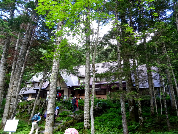
We stayed at the Komorebi Lodge, at the Kitazawa Pass. From Shizuoka, we drove about two hours, to Ashiyasu, then took two different buses through the mountains on the restricted roads, for another hour-and-a-half. Think long dark concrete tunnels, guardrails on the edge of huge cliffs, a lovely river below, and numerous waterfalls—one of the longest in the southern Alps. Think of a busload of hikers, anticipation lighting up their faces.
All sorts of happy faces greeted us at the lodge.
The food was great. The lodge, some other hikers said, was ranked number two in Japan.
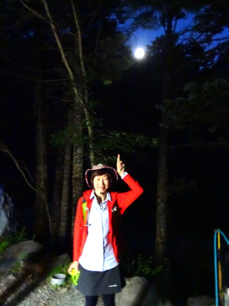
The idea is to get to the top before the fog rolls in. You never know when the fog will roll in—but often in the morning, often early in the morning. Thus, the 4:30 AM start. We had a light in the sky, and lights on our foreheads, so no problem, though we had to remind one of our members that she was going to have to open her eyes before we could begin.
Does 4:30 sound early? The lodge and the mountains are a different world. Everybody is up by 3 or 4. No private rooms. Rows and rows of “bunks.” Throats clearing. Boots pounding the plank floor. You can’t sleep through it. And really, it’s a good time to begin.
There are two trails up. So you can do a loop—or take the counterclockwise or clockwise approach—and come back the way you came. We ended up doing a counterclockwise loop.
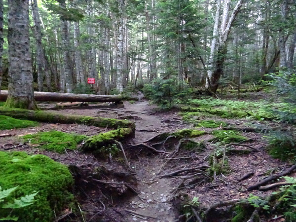
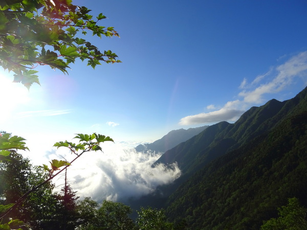
So, it’s 4:30 and we’re off. First through the forest, along the Kitazawa River. Then . . .
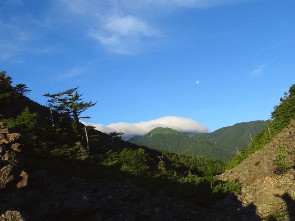
. . . out from the forest and up to the Sensui Pass. We got to the pass about 5:40. Above, we’re looking back at what we’ve just walked. The moon was still with us.
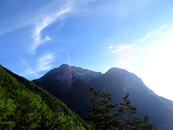
From the Sensui Pass, you get your first view of Kaikoma, on the left. The other peak is Marishiten.
From the Sensui Pass, you head back into a fir forest—and the steep climb begins.
Lovely views when you look back.
 Nope, you don’t get to go directly up Kaikoma. First, you have to climb Komatsumine, at 2750 m.
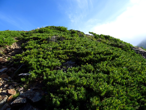
You eventually, come out of the forest, and into the scrub pine. We reached the summit of Komatsumine at 7 AM.
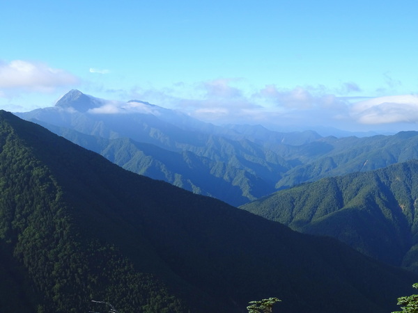
On the horizon, to the left, was Mt. Kita, the second tallest mountain in Japan.
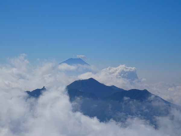
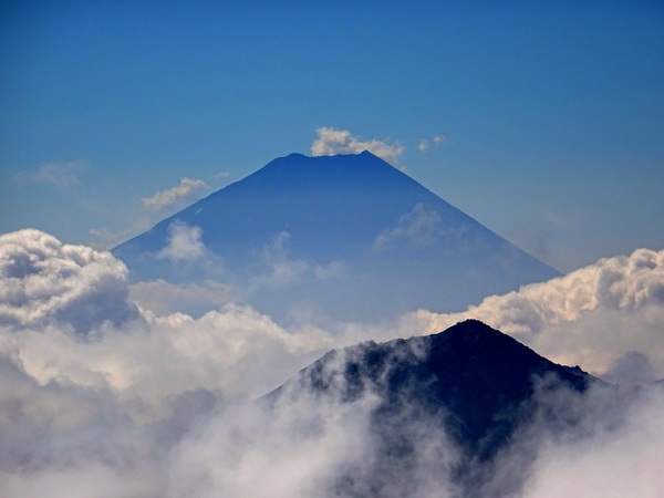
And further to the left, and way off, behind Mt. Houou, our dear friend Fuji.
And even further to the left, Kaikoma.
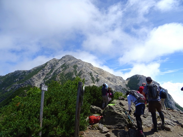
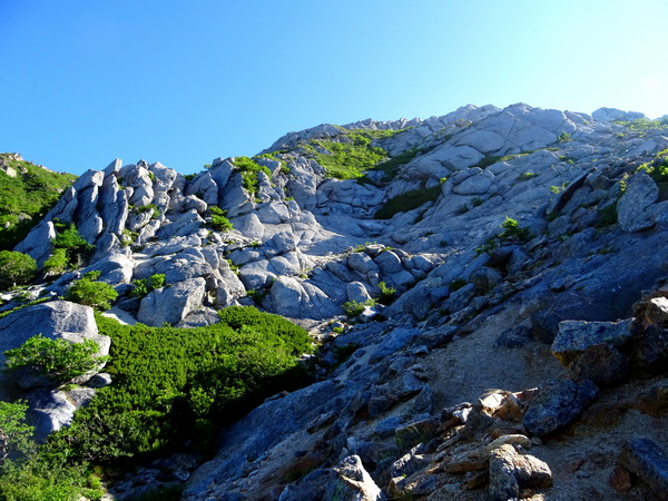
And sorry to say, but you have to go down before you can go up Kaikoma. It’s a rocky way, with boulder fields that you have to scramble across.
Very rocky.
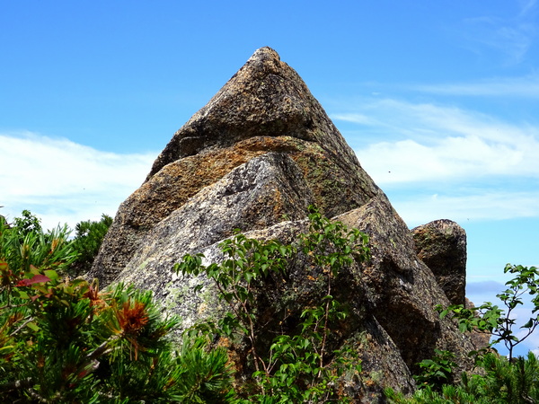
Some rocks want to think they’re little mountains. Let them. As Shizuoka Duo sings, “Hope-despair are living where the thinking makes them so.”
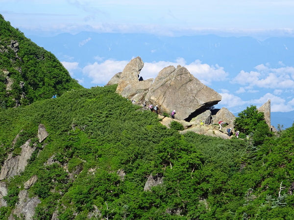
Just as you start to go back up, up Kaikoma, you come to a choice. You can scramble-crawl straight up the side of the mountain—or take the “winding” road up. Seems most people opt for the winding road, but lots of ordinary-looking hikers chose the steeper way.
But the winding path is steep enough, believe me.
 And because it winds . . .
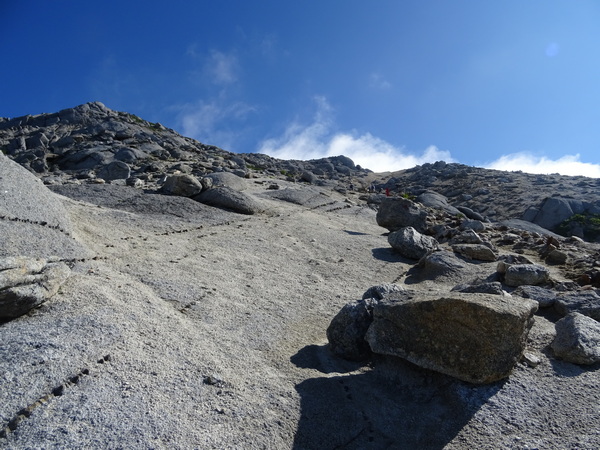
. . . you’re likely to think you’re ten minutes from the top . . .
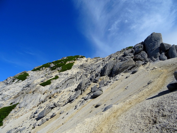
. . . for about an hour.
Sand and rock.
You are a great climber, sure, but you have not conquered the moon. You’re still on Earth. 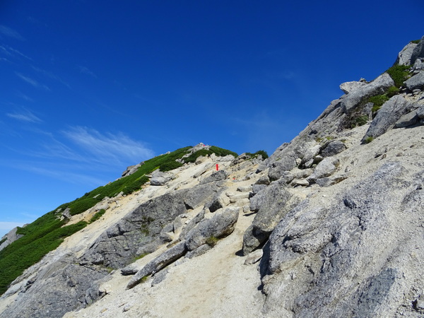
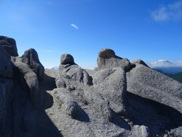
And just when you think, you’ve gotten through the worst of it . . .
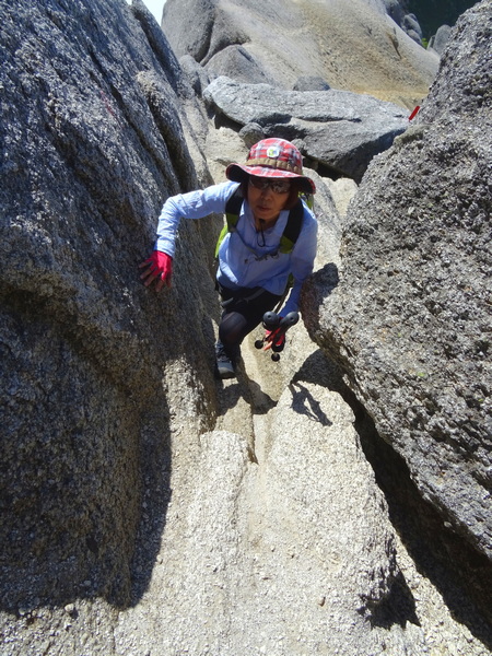
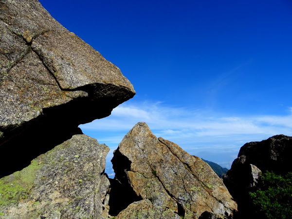
. . . oh . . . more rocks between which you’ve got to figure out how to pull yourself up.
You’ll do it, don’t worry.
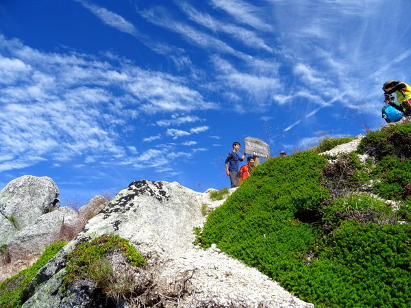
And then you’re at the top. It’s 8:37, and you’ve beaten the fog. Take a picture before it rolls in—because it’s going to roll in before you can finish breakfast.
Ahhh. Mt. Kita and Mt. Fuji have disappeared.
Back to Komatsumine.
And it’s farther back than it was coming. An amazing phenomenon that you’ll experience often on hikes like this one.
From Komatsumine, we could have gone the way we came, back by the Sensui Pass, but we decided to go the other way, via Mt. Futago.
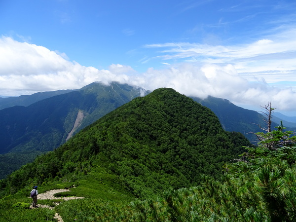
There’s Mt. Futago right in front of us, the green guy. It wasn’t until we’d come down from Komatsumine quite a way that we realized that the trail was going to take us up to the top of Mt. Futago. Yes, we have a silly leader.
But we made it. Then back into another fir forest—and back to the lodge at a little before 1 PM.
Would our legs recover to hike up Senjo the next day? We’ll see.