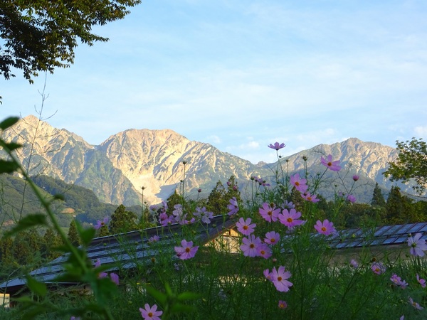
From the parking lot, in the village of Hakuba, in Nagano prefecture, looking up at the three peaks in the Shirouma range–from left to right: Hakubayari, Shakushi, and Shirouma. In the mountains, looks are often deceiving. Shirouma, on the right, is the tallest of the three . . . and our destination.
SHIRO (white) + UMA (horse).
This was August 27th, the first clear day (we were told by people at the mountaintop lodge) in the whole month of August. Lucky us.
A twenty-minute bus ride took us the Sarukura Lodge, at the bottom of the climb. You can drive your own car this far, but we were planning on coming down a different trail a couple of valleys over.
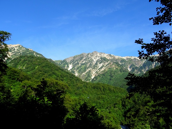
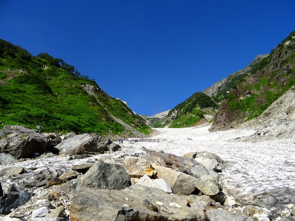
The trail up was through the famous “Big Snow Valley,” which is covered in snow the year round.
From Sarukura to the summit is about 7.4km in distance, but with a 1700 meter altitude change. That’s about the same, for those of you on the other side of the pond, as the altitude change from the Colorado River to the South Rim of the Grand Canyon.
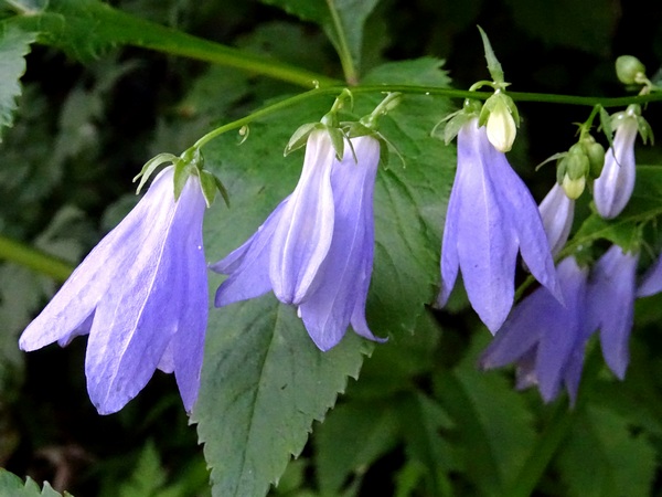
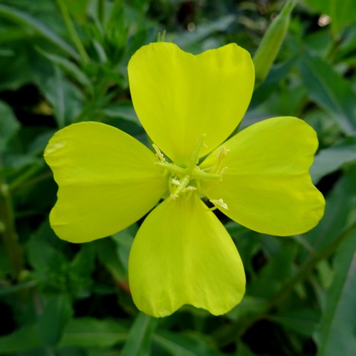
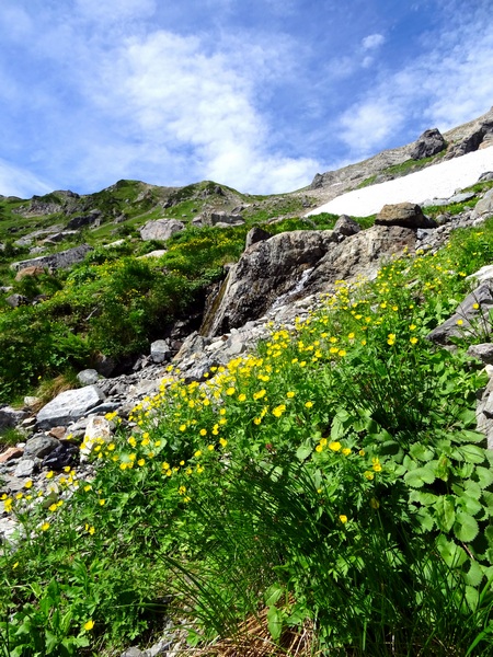
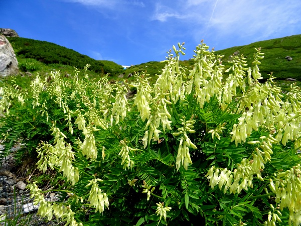
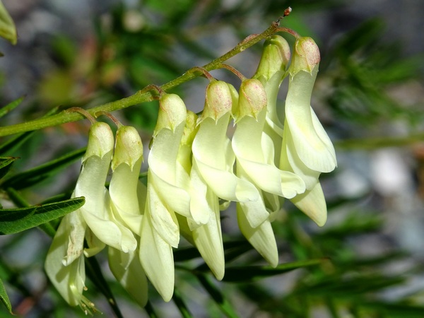
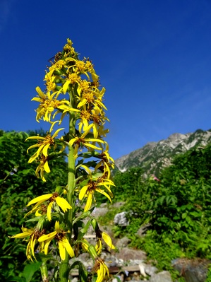
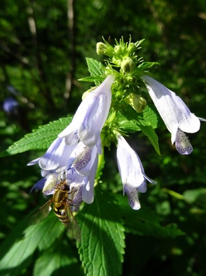
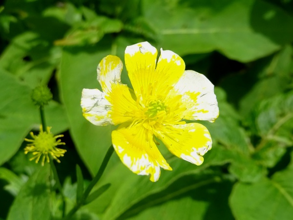
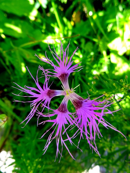
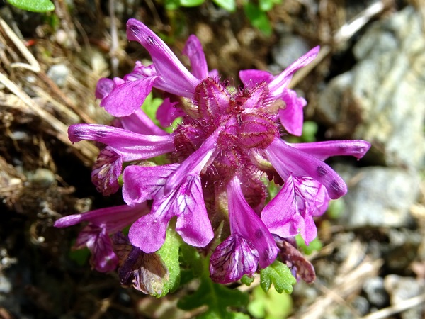
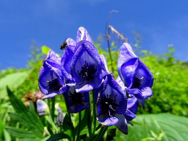
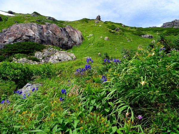
The first hour and a half or so is a gentle climb—with lots of flowers.
Enjoy them. Just a few pics here.
Then you come to the snow valley. Time to strap on the clampons . . .
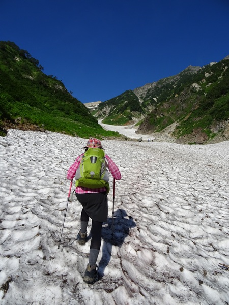
. . . and up you go.
And go and go and go.
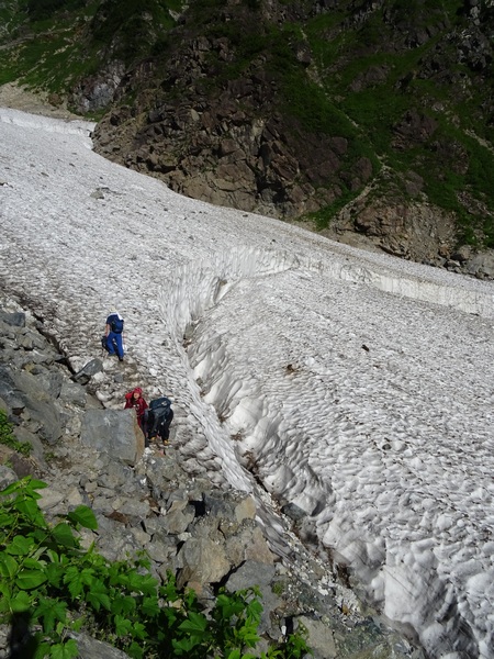
Yes, there are cracks here and there in the surface snow. Be careful. The mountain folks keep a pretty good eye on things, and at least on this day, a safe course up the valley was clearly marked. Also notice that there are lots of fairly big rocks on the snow. Yes, rocks are known to come tumbling down the valley. No, we didn’t see any tumblers, but you need to keep your eyes peeled.
Rocks. Melting snow. Gravity.
Yes, a river is flowing under your feet . . . but the snow and ice is thick.
We were right around here when I began thinking that this was the most beautiful hike in the world. I’m guessing it was around 20 or 22 degrees Celsius at this point of the trail. Felt mighty fine in short sleeves and hiking shorts—for me. I really, really thought that if anyone ever asked me to take them somewhere, this would be it.
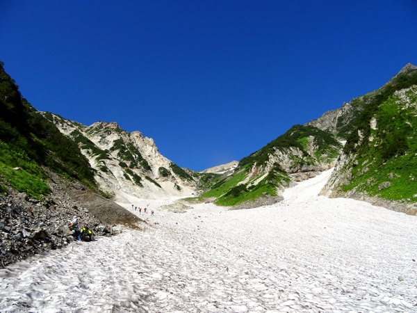
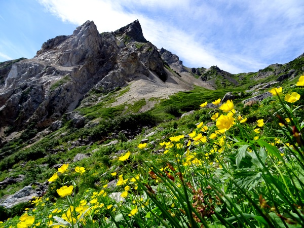
Up ahead is Shakushi. All throughout the climb it seems the most prominent feature on the horizon—but remember it’s the lowest of the triplet peaks.
When you get up and across the snow valley (it took us about an hour ) find a good rock to sit on, have a little snack, and look back at where you’ve been–and beyond where you’ve been.
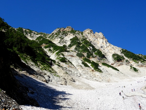
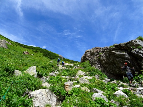
You may have thought the snow valley was a bit steep, but it gets steeper from here . . .
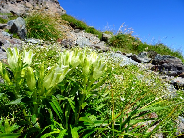
. . . and gradually gets steeper all the way to the top. The snow valley got you up about 600 m, but the second half of the hike is another 900 m or so. But it’s also glorious. Green fields of flowers and rocks all the way up, maybe two-and-half or so of this beauty. Lucky, lucky you.
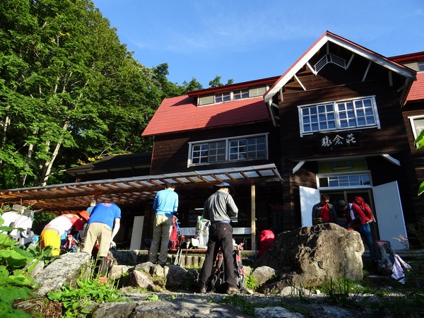
Once you hit the main ridge, just past the first of the two lodges, you’re about forty-five minutes from the summit. Thirty minutes to the second lodge where we spent the night . . .
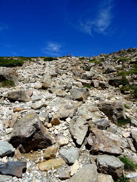
. . . and another fifteen-minute loose-rock scramble up to the top.
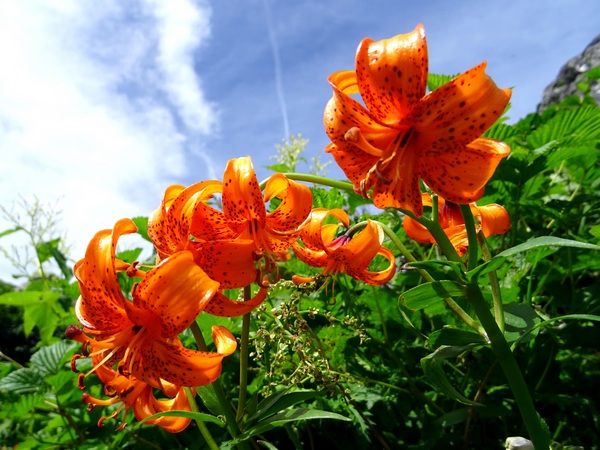
More flowers up there.
And you may discover that some folks have had an easier time getting to the top than you have. Don’t obsess over that.
You are you.
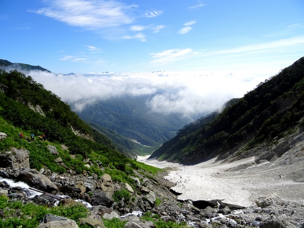
Though you might give some thought to the advantages of traveling light.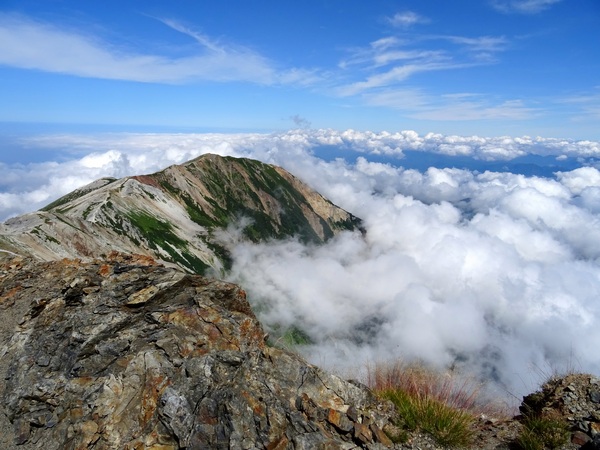 From the summit, to the left, look out and over the ridge that leads to the “Big Hakuba Lake”—our destination in the morning.
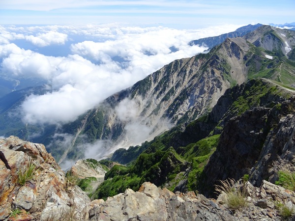
And then back down the way you came, yet another nice view of Shakushi.
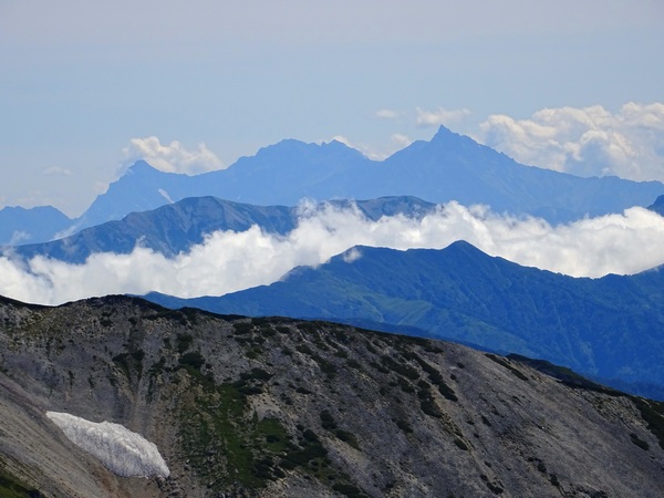
And lots and lots of peaks all around. All around you.