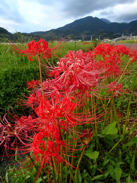
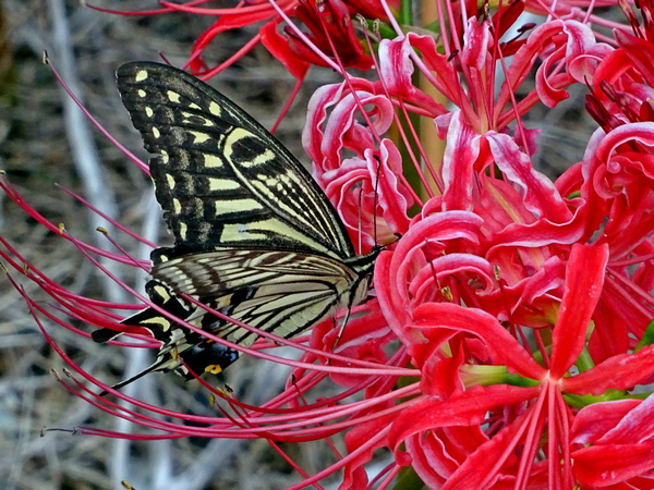
It’s September, and all over the neighborhood the spider lilies are blooming. I’m not sure to say how I feel about them but to say that they make me feel very aware. It’s a very good feeling.
They’re in the amaryllis family and known by zillions of names. Other names in English are red magic lily, naked lady, resurrection lily, and hurricane lily–the latter surely because they’re said to be encouraged to pop out from the ground after a big late summer or early autumn rain.
In Japanese, their most commonly used name is 彼岸花 (higanbana = the equinox flower), 死人花 (shibitobana = dead person flower), 幽霊花 (yureibana = ghost flower), 蛇の花, (hebi no hana = snake flower), 剃刀花 (kamisoribana = razor flower), 狐花, (kitsunebana = fox flower), and—no offense to anyone intended—はっかけばばあ (hakkakebabah = toothless old woman).
In Sanskrit, they’re called manjushaka, which translates something like “flower of heaven.” The scientific name is Lycoris radiata, after a spirit of the sea in Greek mythology.
They originally come from China, where they still exist as diploids, that is, their chromosones come in pairs, enabling them to produce seeds. However, the spider lilies brought into Japan were tripoids, their chromosones coming in sets of three, and are unable to produce seeds. Basically, they are sterile, and can only be grown from their bulbs.
Spider lilies in the U.S., they say, all come from three bulbs brought back from Japan by a military man in 1854—not long after Admiral Perry had aimed his cannons at the mainland and said, from his “black ships,” open up for business or else.
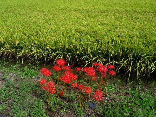
The most common theory out there is that when rice was first brought from China to Japan, some of the bulbs came along for the ride—that is, they were not intentionally brought to Japan, and that when the poisonous nature of their bulbs was discovered, farmers planted them at the edge of rice fields to keep away small pests like mice and moles.
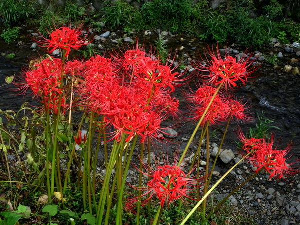
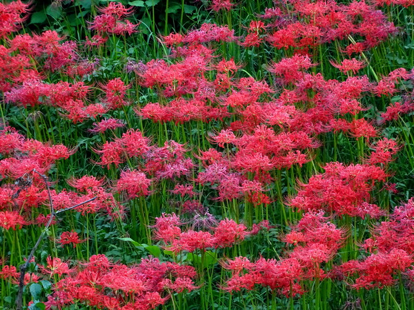
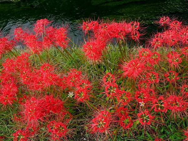
So you most commonly find them growing them at the edge of rice fields—and by rivers and small streams, and also in graveyards.
The bulbs may be poisonous, but some have found some sweetness in the flowers.
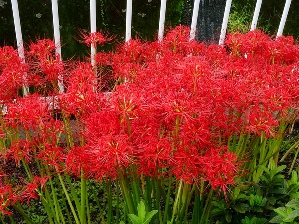
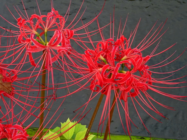
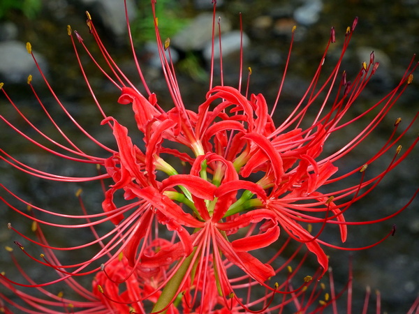
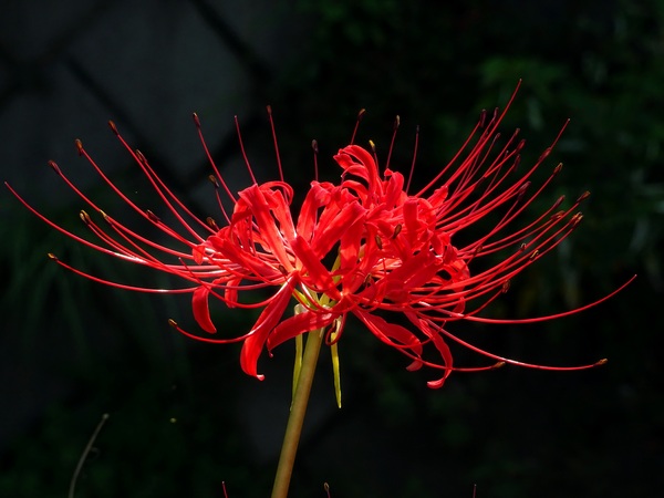
Some people say the flowers look like sparklers and remind them of summer festivals.
Some say they look like the garlands that a young bride and her bridesmaids might wear.
Some say there is something sexy about them.
One person told me that if roses are sophisticated and elegant ballet dancers, spider lilies are passionate Latin dancers.
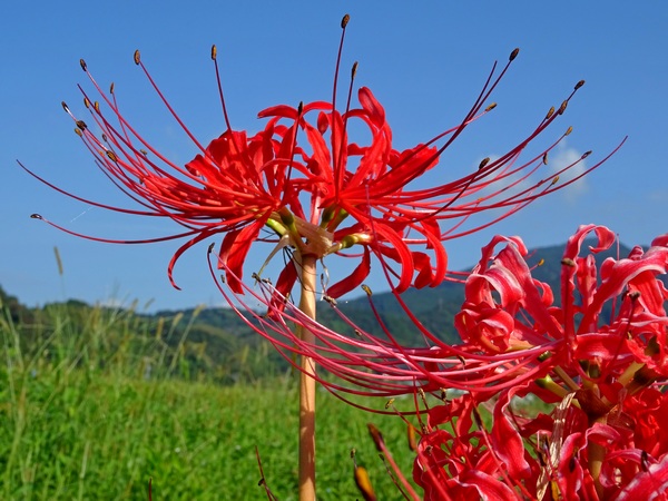
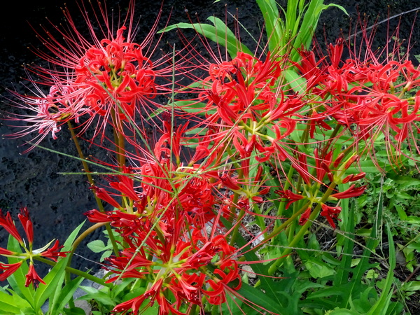
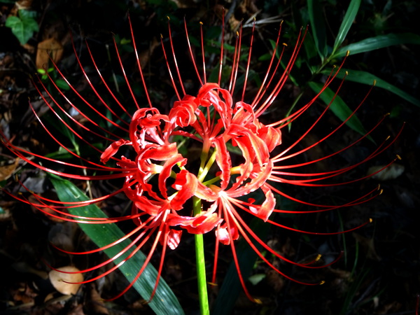
Actually, the flow of petals atop a single stalk looks to me like a ballet ensemble—six dancers. One stalk with one umbel (a kind of upside-down umbrella frame) with six radiating “spokes”, each with a five-curly-petals flower, the petals from one spoke weaving together with the ones to both sides of it. The “garland” effect.
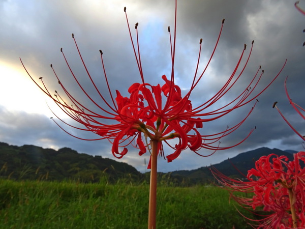
Some say the spider lilies frighten them. Some say they comfort them. Some say the fluorescent red of new blossoms is “too loud.” Others say the brilliance invigorates them.
They are certainly associated with death—so if death is something you fear greatly, then you might not like to visit our neck of the woods in September.
But it’s better not to think of them as death flowers, but as (as their most common Japanese name suggests you do) equinox flowers.
The equinox.
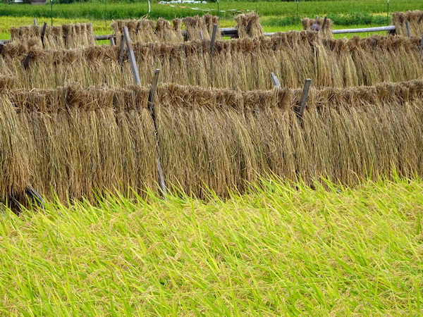
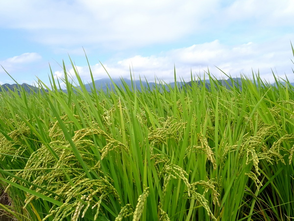
The rice is ready to harvest.
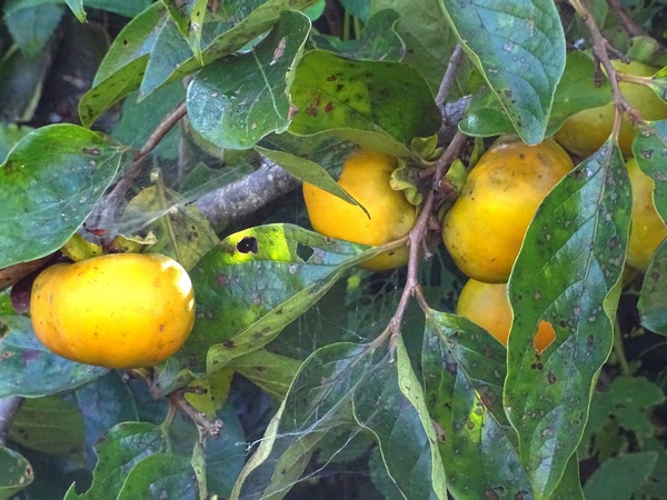
The persimmons are well on their way.
 It’s a time to be joyous. A time to feel content. But it’s also the beginning of the cool weather. The days and nights are now of equal length, but for the rest of the year, the days are only going to get shorter, and the nights longer.
All things must pass.
The equinox. For Buddhists, this is the time of Haramitsu (in Japanese), and Paramita (in Sanskrit), which might translate as something like the Six (or Ten) Practices for Becoming Enlightened. Below is a basic explanation of the Six-Practice version. If I’ve gotten something wrong, or something is a bit incomplete, let me know.
Fuse (Dana) – generosity, charity, the giving of alms
Jikai (Sila) – ethical living
Nintai (Ksanti) – patience, forbearance, forgiveness
Shohjin (Virya) – abstinence
Zentei (Dhyana) – equanimity and awareness (perhaps through meditation)
Chie (Prajna) – wisdom, insight into the true nature of reality
To me, these are six of the many, many things the spider lilies want us to consider.
Some people say they look like sentinels, standing at the edge of fields as they do, kind of like the officers on duty in the neighborhood police box: They’re watching us.
That’s a little creepy, maybe. To me, they are much more like Jizo. They are bodhisattva, beings well on their way to enlightenment, but beings who have kindly stayed behind so that they can help us, so that they can guide us. “All things must pass,” they say to us, “But that’s nothing to worry about. It’s always been that way and always will. You’re going to be just fine. Just live the best life you can. Follow your own inner nature and all will be fine.”
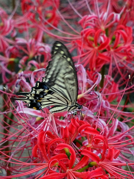
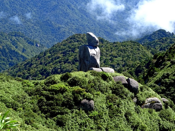
So when I look at the spider lilies, and I feel particularly moved by them . . .
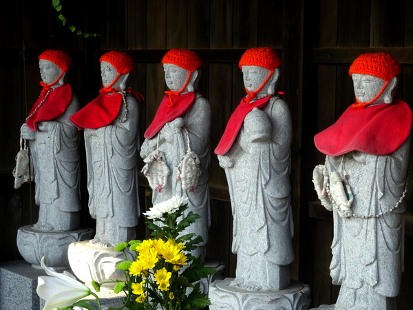
. . . here’s the image that fills my head. These guys also live in the neighborhood.
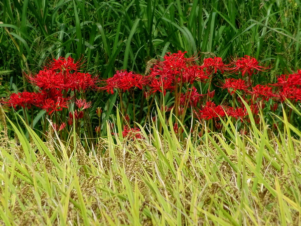
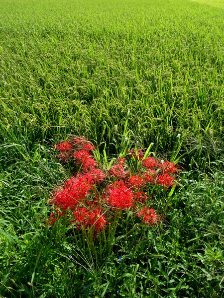
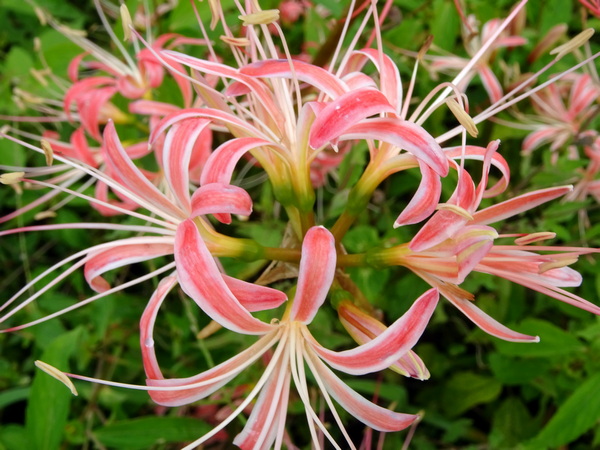
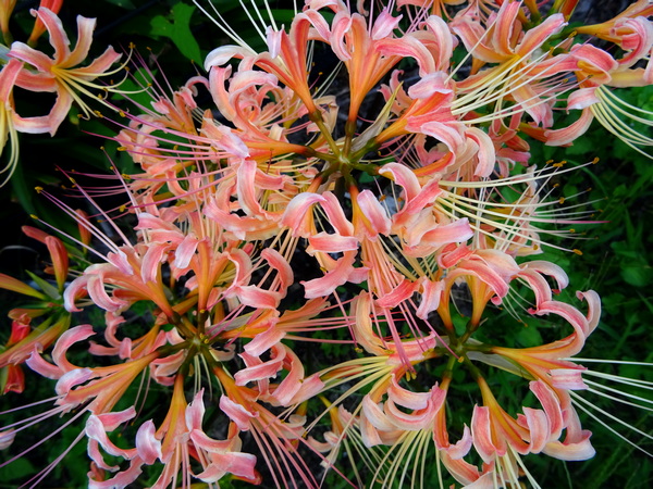 Not all of the spider lilies are red. I like them in all colors. But I especially like the red ones, and I especially like the ones next to a rice field turned golden yellow . . .
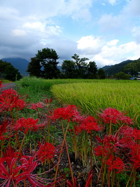 . . . and especially like them next to a golden rice field under a blue sky. I’m simple. Primary colors do wonders for me.
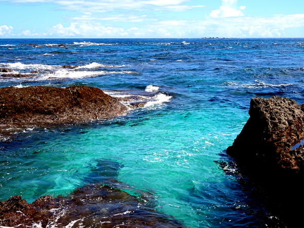
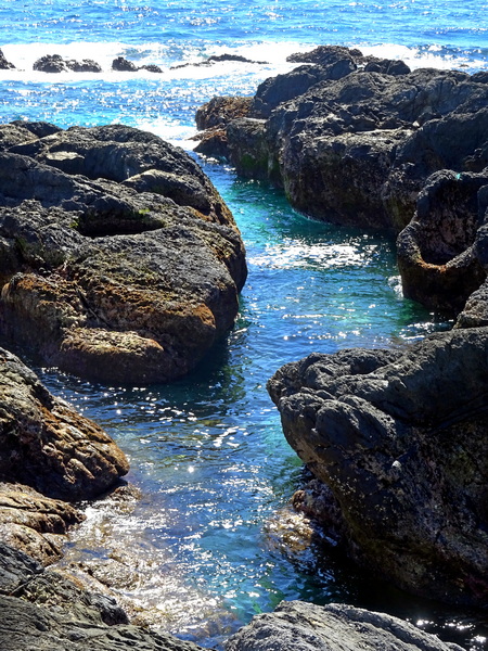
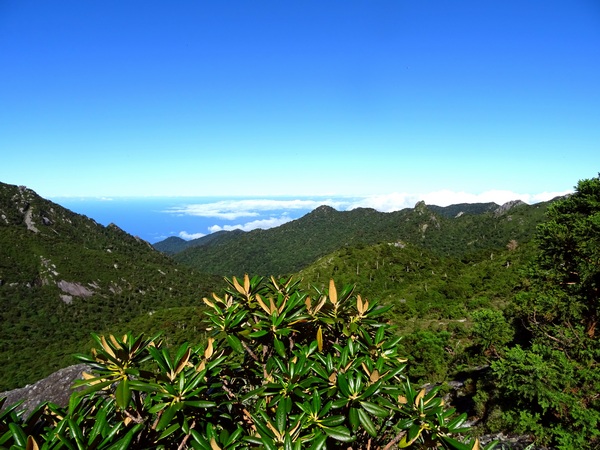
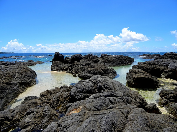 The Kurio tide pools. Lots of little metallic blue fish here. Starfish, too. A good place for small children to explore (with parents nearby).
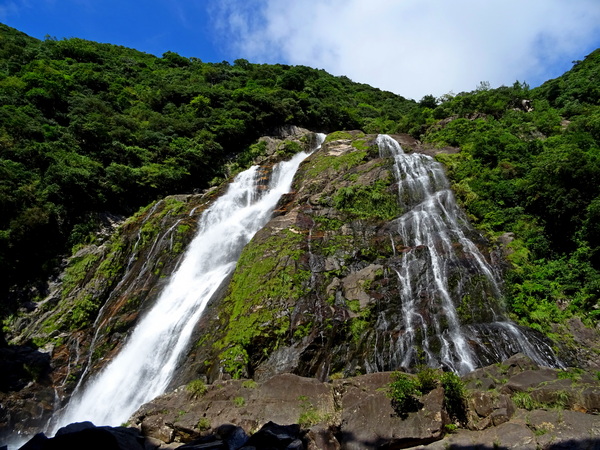
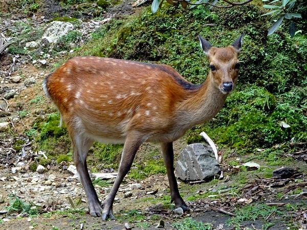
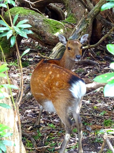
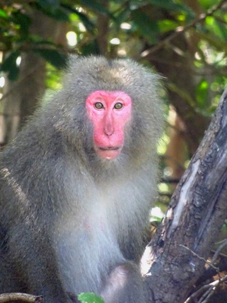 When you drive around the island, your average speed is about 40-50 kph (25-30 mph?). There is not a whole lot of development. Drive long enough and you’re bound to meet deer and monkeys.
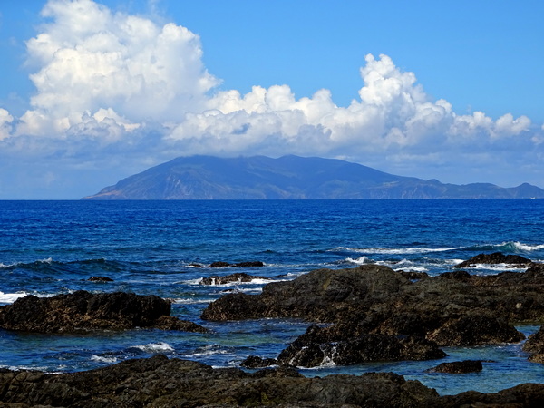
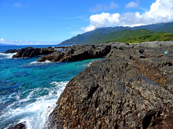
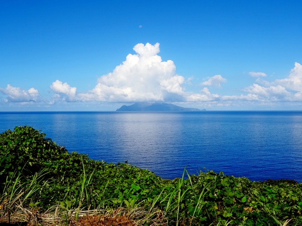 Kuchinoerabu Island from the northern coastline.
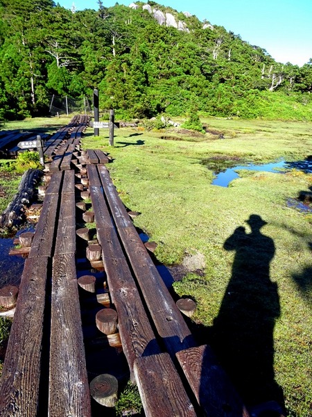
 Here, I recommend a little yoyu.
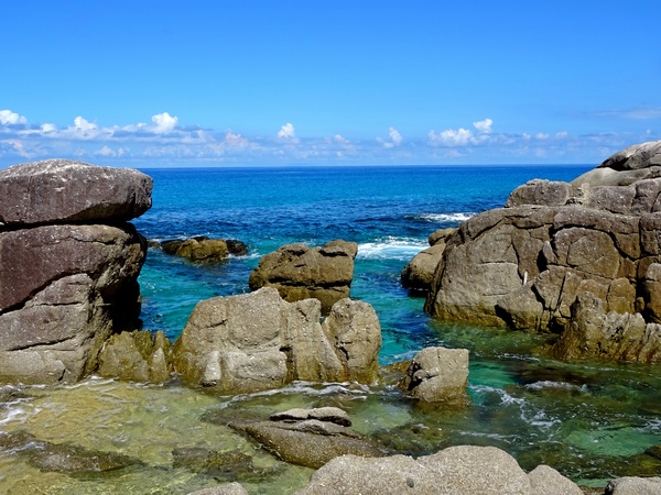


 Along the road, yoyu.

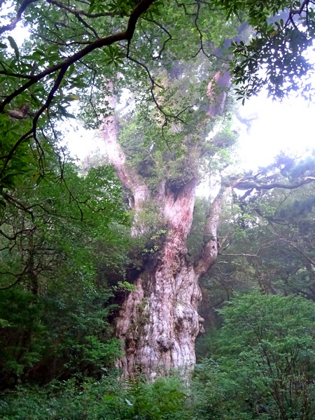
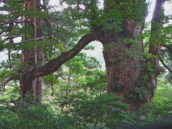
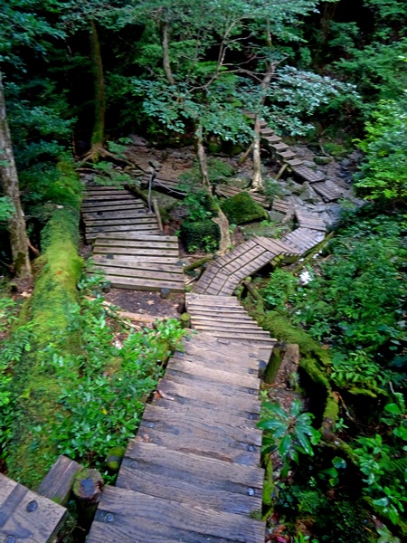
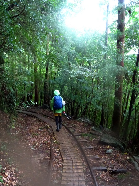
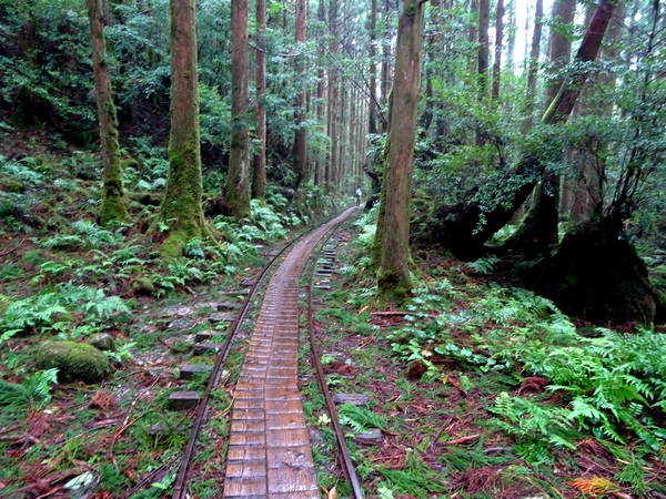
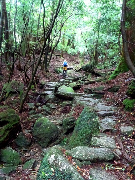
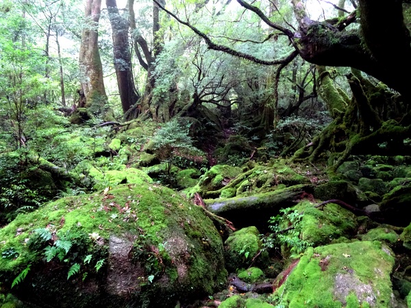
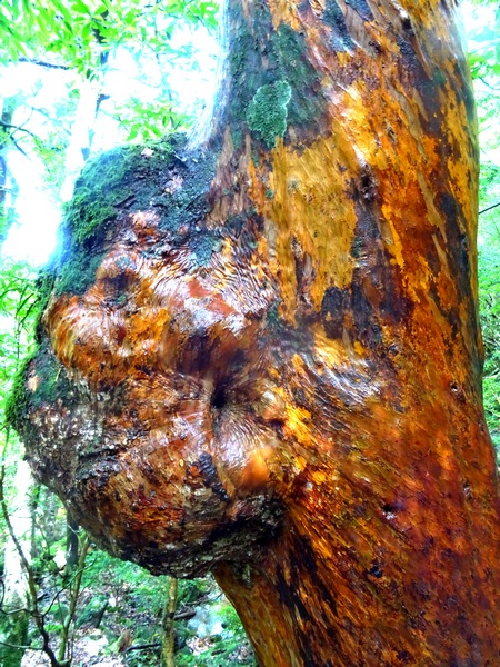
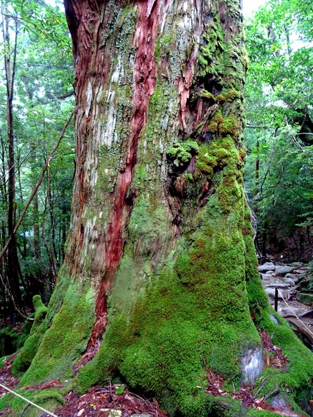
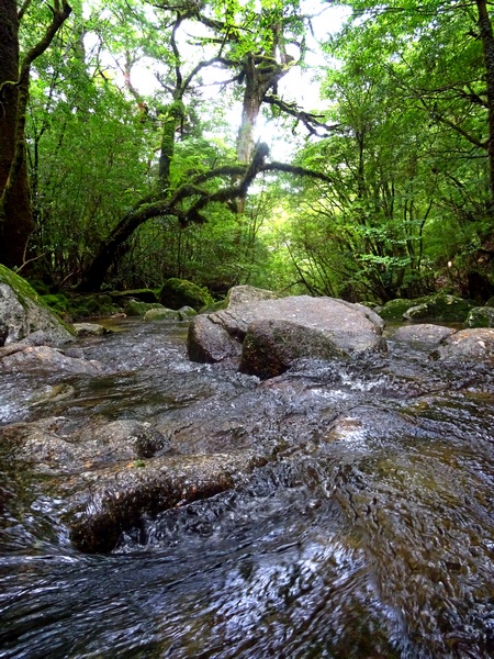
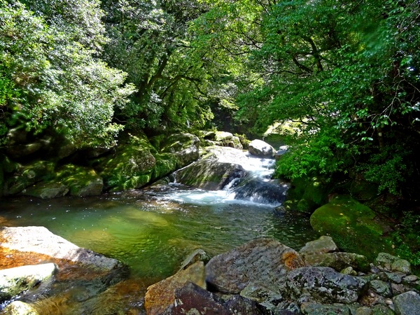

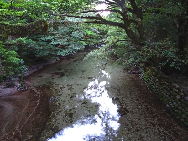
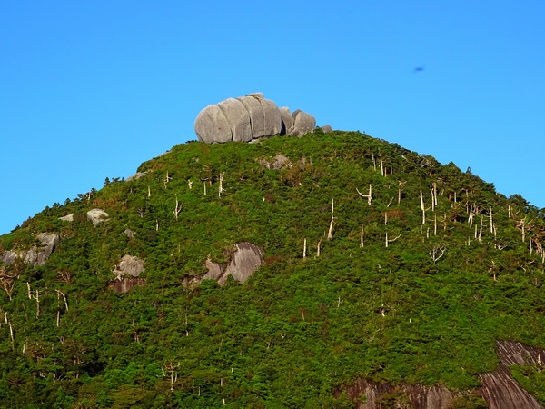
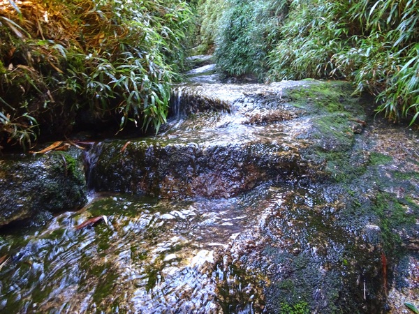

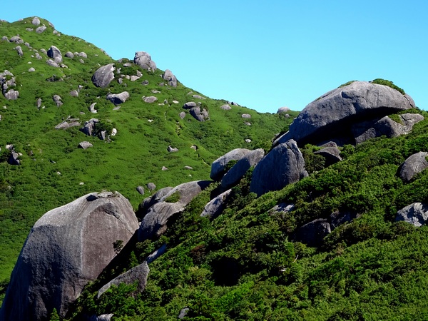
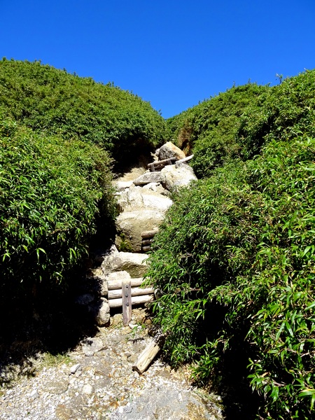
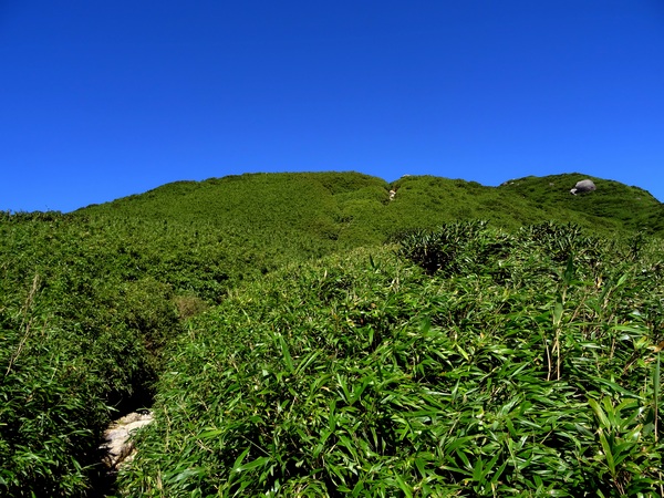

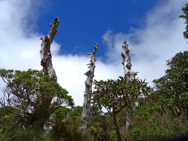
 A small early lunch and then it was down the other side on the trail that leads to the Jomon Sugi cedar tree, almost certainly the oldest tree in Japan, with estimates from 2000 years old to 7200 years old. Other much smaller trees have been proven to be over 3000 years old so I’d personally guess (sitting in my armchair) that Jomon is at least 4 or 5 thousand year. Old enough.
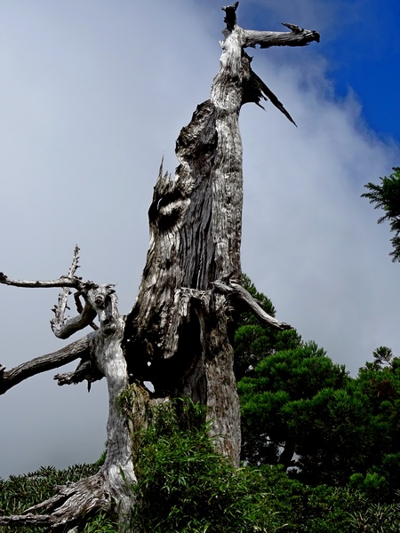
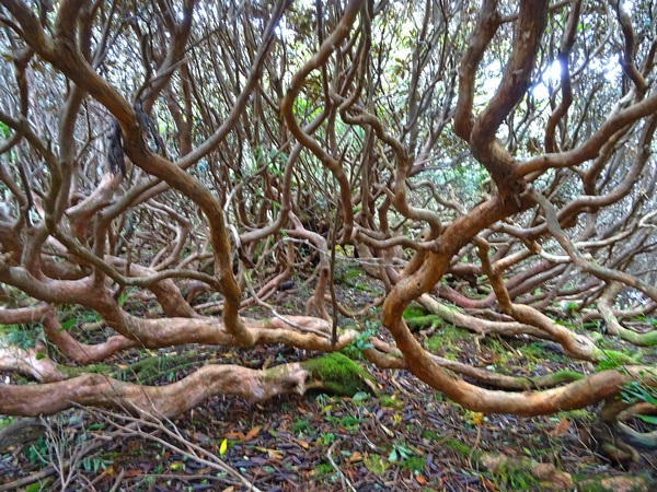
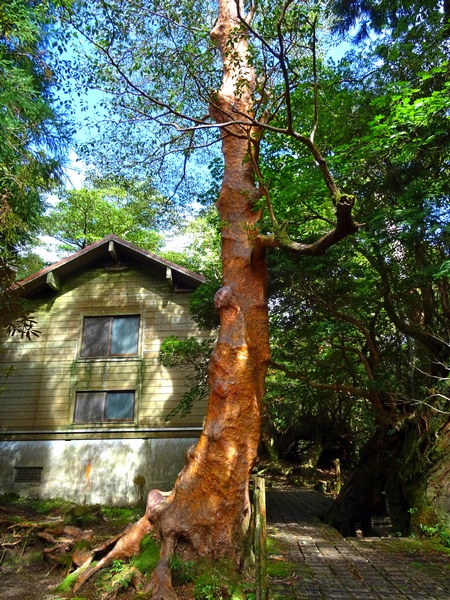
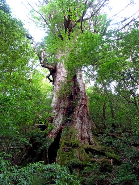
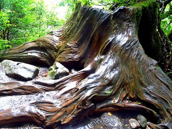
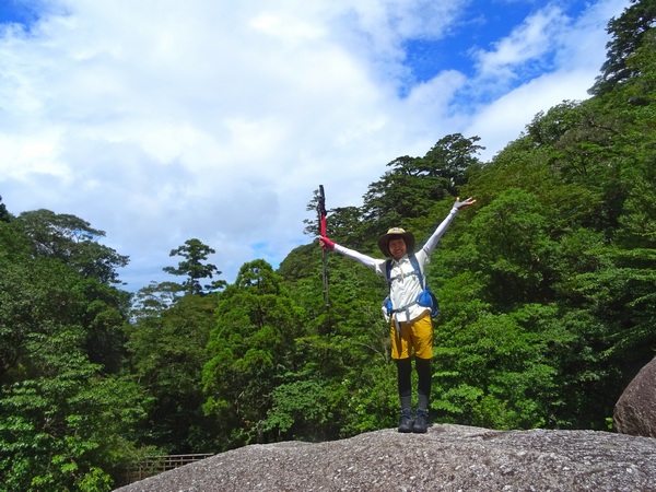
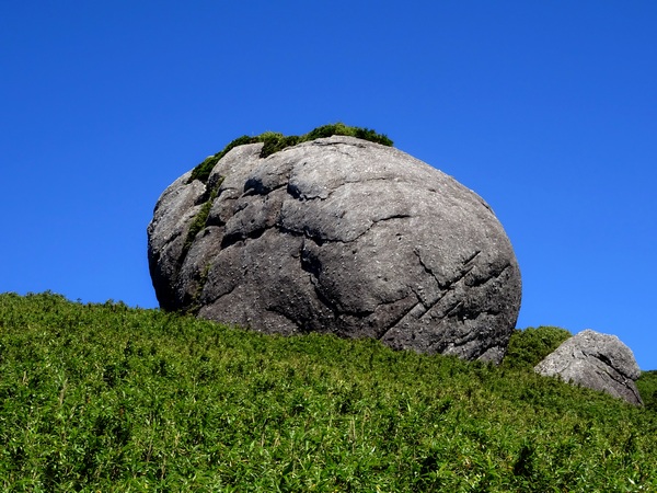
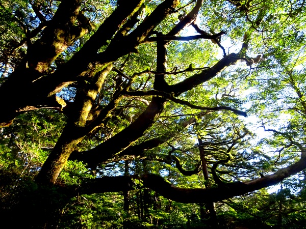
 A friend.
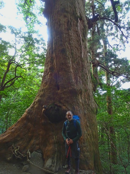
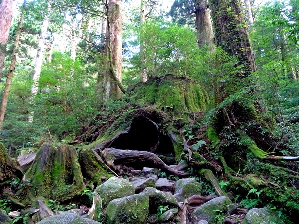
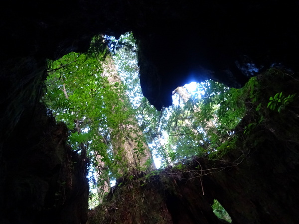
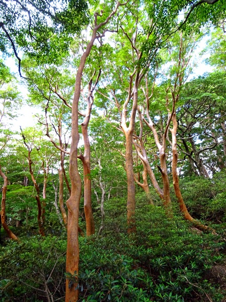 Himeshara trees and shakunage.