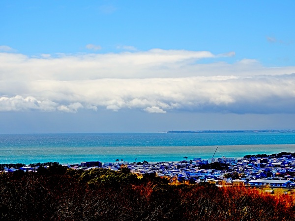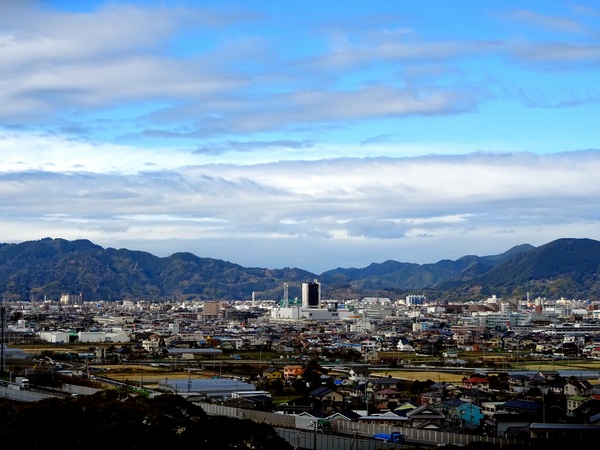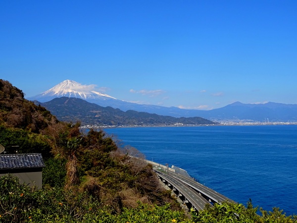
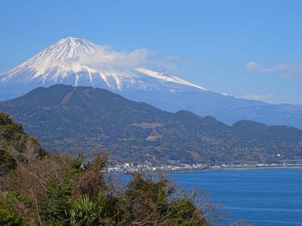
March 24. A hike up Hamaishi, 707 meters, a mountain which comes face-to-face with Mt. Fuji.
It’s very convenient. From the heart of Shizuoka City to the parking lot near the Satta Pass trailhead, it only takes about 30 min. by car. You can also take the train and get off at Yui Station, though in that case, you’ll have to walk/taxi to the Satta Pass parking lot or nearby.
The picture above was taken from the parking lot, which is already about 100 m above sea level. That leaves you with about 600 m to climb.
The distance to the top is somewhat of a mystery. The navigator on our Hearty Hiker team concluded that our round trip was a total of 13.7 km, but the sign posts all along the way suggest it’s significantly longer. Me, I trust our navigator. For sure, the time estimates on the sign posts are out of whack. The average hiker doesn’t take nearly as long as they indicate. This day we walked about six hours, I think.
The appeal of this hike, besides the ease of getting to it, is that you have, if it’s a clear day, great views of Mt. Fuji, great views of the Umegashima mountains and the southern Alps beyond, and . . .
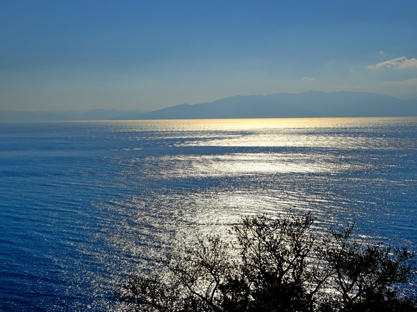
. . . great views of Suruga Bay and the Izu Peninsula.
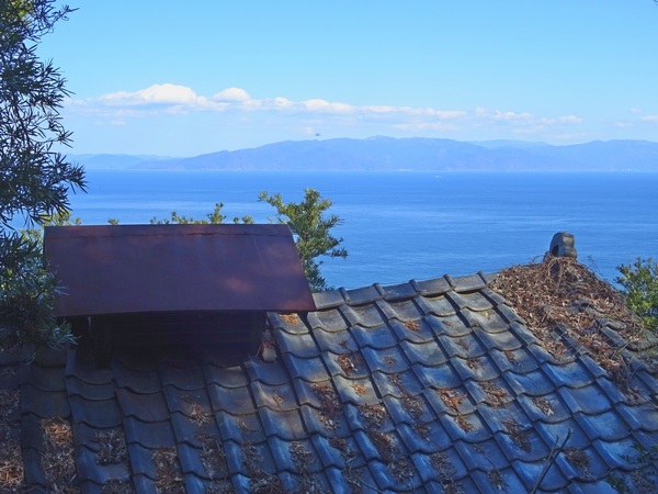
You walk along about 15 min. from the parking lot before you see your first trail signs and actually turn off from the pavement. You’ll soon walk behind this old shack. I love the view of the bay as seen over its slumping roof.
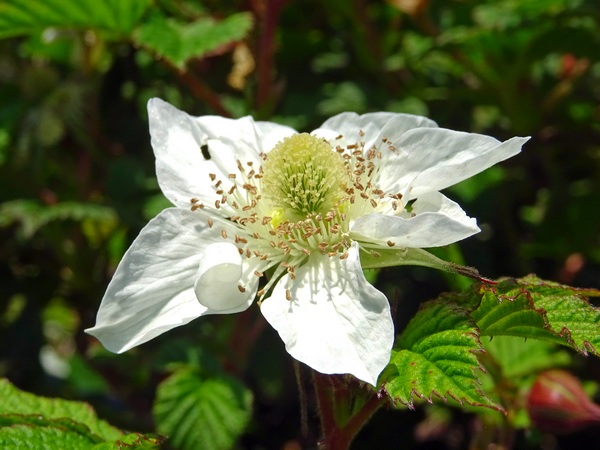
It’s also a good walk for spring flowers, though March is still a little early. The strawberry flower above was one of the few we saw. In three or four weeks, though, there should be lots here and there.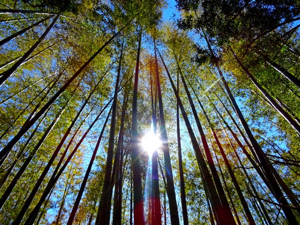
You pass through a bamboo thicket before you get into the cedar/cypress forest. Nice.
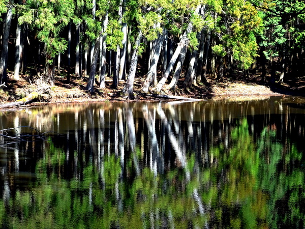
Once you’ve walked through the cedar/cypress forest a ways, you’ll be tempted by a sign suggesting you take a detour to the Tachibana Pond. If you’ve got the time, give in to the temptation. It’ll cost you 30 min. or so. The pond sits in a low spot, with evergreen trees rising all around, and the reflections (we were there about ten a.m.) are very pleasing to the eye.
The pond is less a mirror, I felt, and more an Impressionist painter. Maybe as our human eyes tend to be.
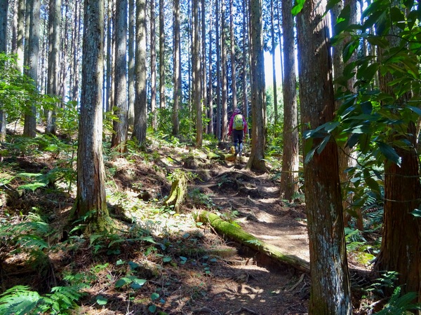
Although you’re never far from the ocean, there are not many views of it once you’re in the woods. There is a bit of up and down along the way, but most of the trail, as you can see, is fairly easy walking. Including our detour, it was just a smidgen over three hours from the parking lot to the summit. (Signs say 4.5 hrs.)
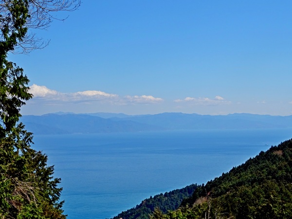
One of the few places where the trail bent over to the edge of the ridge and the ocean view opened up.
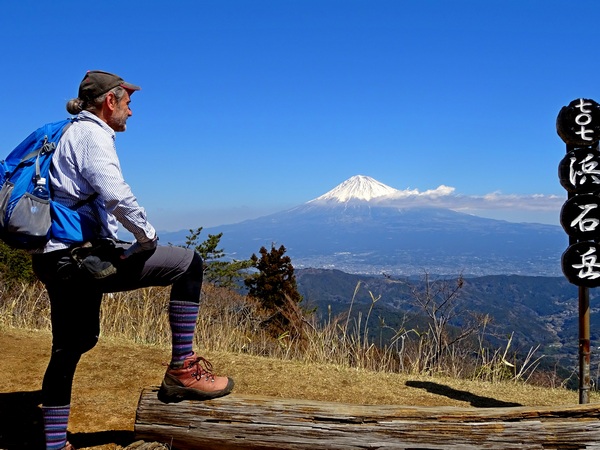
And then the summit. Nothing between you and Fuji. Nothing at eye-level, anyway. Nothing but good-breathing air, that is.
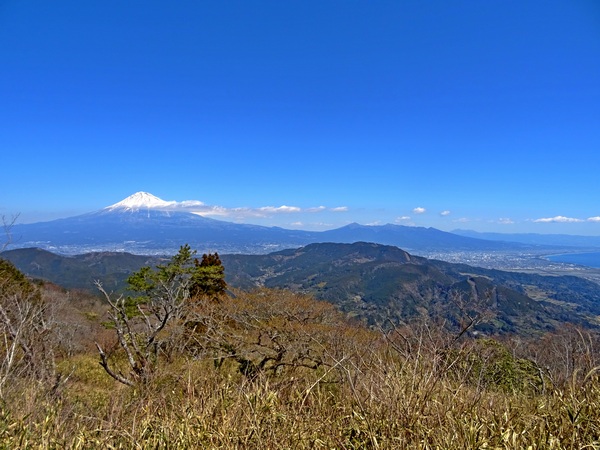
It’s a good spot from which to take in the lie of the land, to see how Mt. Fuji slopes down to Fuji City and the bay. Fuji City is where everyone in the bullet train is taking a picture of the big symbolic mountain with their i-phones. 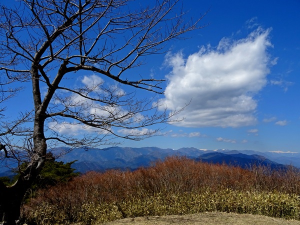 Turn your head to the left and there are the southern Alps. Come in mid-April or thereabouts and that bare-branched cherry tree will be sporting pink ribbons and bows. It’ll provide a splendid canopy for a picnic.
You can’t see it in the pic above, but there is an offshoot of the main trail that runs just behind and below the cherry tree. If you find your way onto it, you will see the pine tree below.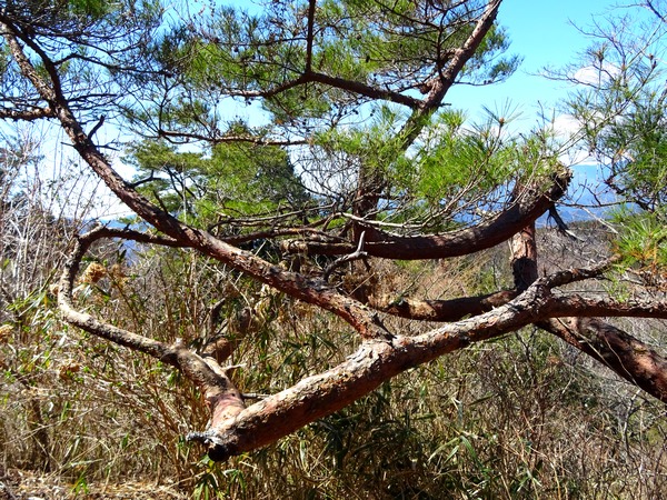
He is worth a close examination. See his trunk pushing down into the bottom, right-hand corner of the pic? Follow it up and see if you can see all the twists and turns it takes.
It’s pretty clear his message: No matter how complicated a childhood you may have had, you will (if only you keep your inner nature alive) eventually grow strong, sense the path you were meant to be on, and shoot up straight for the light.
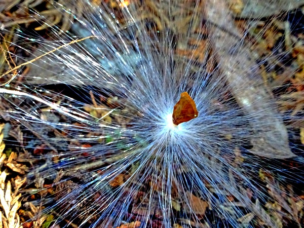
On the way back, try to keep your eyes alert. No, not many flowers are blooming now, but just look at this little seed. He felt a bit unsure if he could reach his distant destination, so he asked his parents for a bit of help. Look at the vehicle they manufactured for him! Amazing.
Have a safe trip.
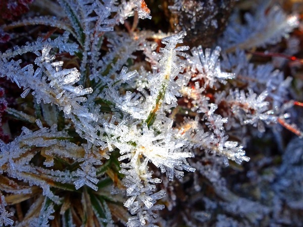
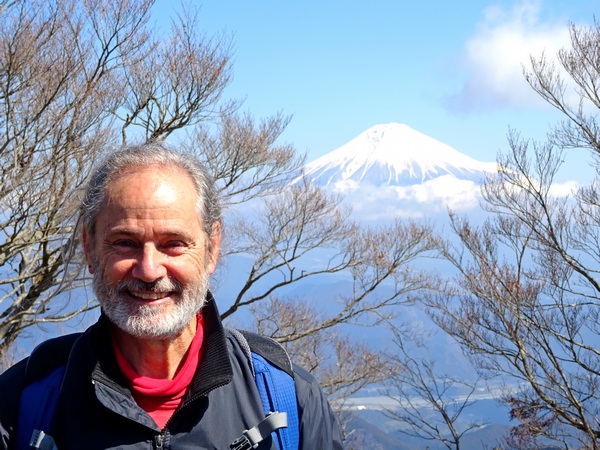 March 9th. It had been a bit warm, but there’d been lots of rain and it was hard to gauge, beforehand, just how cold it remained in the mountains . . . so we Hearty Hikers had thought we might get one more chance to walk across the gentle Aozasa ridge in the snow.
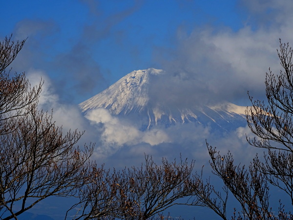
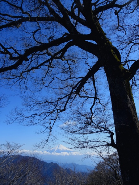 And when Fuji smiles at you, under a big blue sky, you can’t help but tingle and smile back.
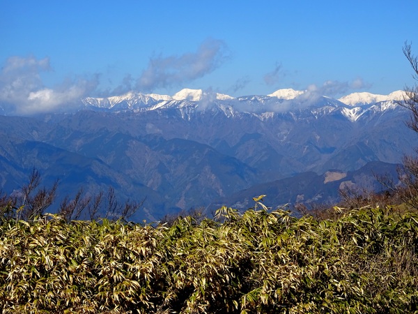
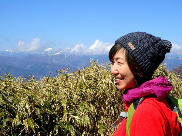
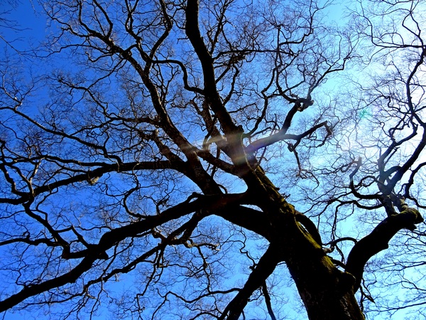
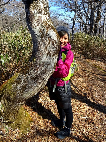 . . . our own lovely Hearty Hiker, were all smingler and smingled, all at once.
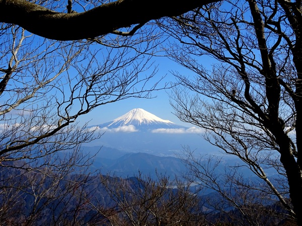 He smingled us from beneath branches big and small.
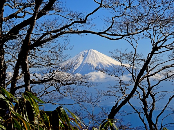 He smingled us through circles of branches.
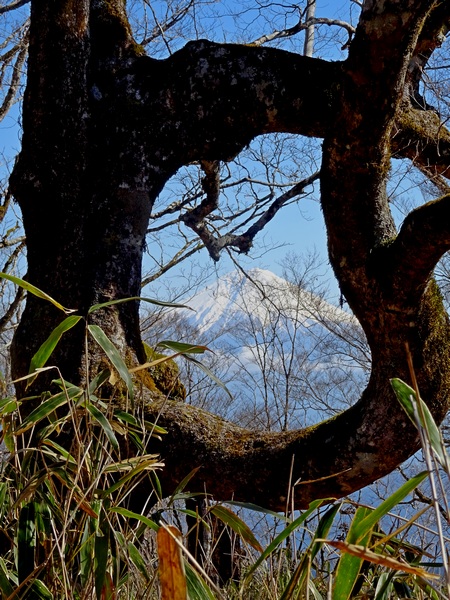 He smingled us through circles of trees!
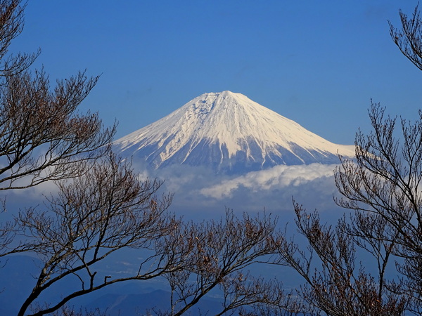 He perched himself high in the sky and smingled us through a winter-branch garland.
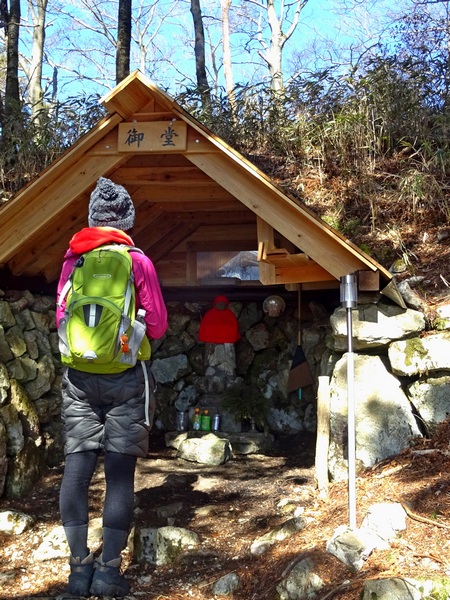 On a day with so much smingling, you don’t have to think twice about showing a little gratitude. Thank you, Jizo-san.
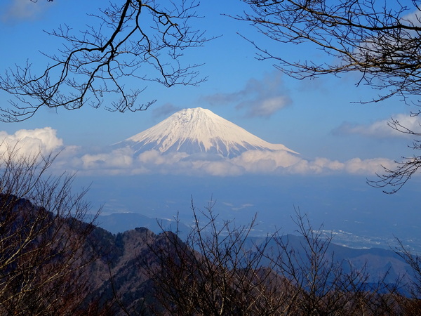
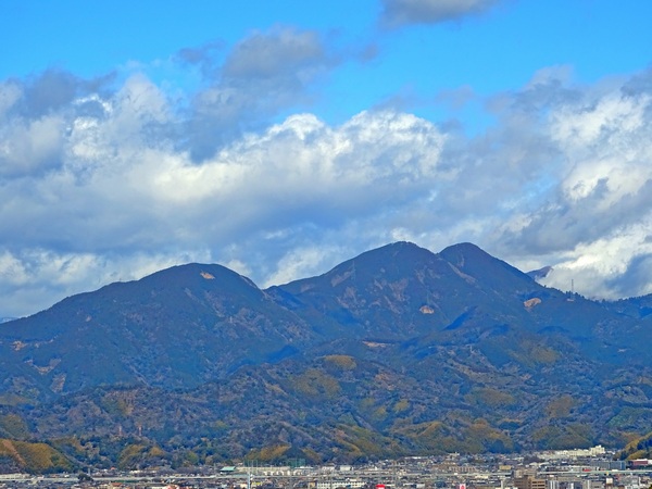 Greatly beloved of us Hearty Hikers, Ryuso Mountain.
 And when the blue does come out, it’s easy to STOP . . . as in STOP COMPLETELY . . . and enjoy the moment.