Late August. 5:30 a.m.
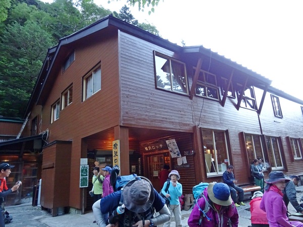
We’ve had our breakfast at the Yarisawa Lodge (even took a HOT bath before hitting the sack, the first time ever in a mountain lodge here in Japan), and are ready to continue our walk from the resort town of Kamikochi to the tippy top of Mt. Yari’s spear-tip summit.
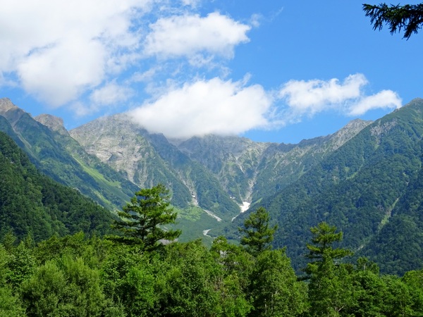
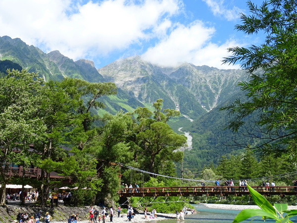
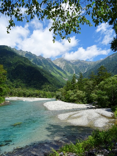
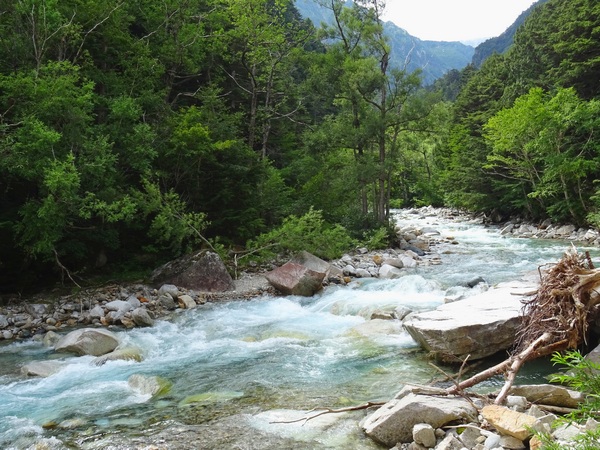
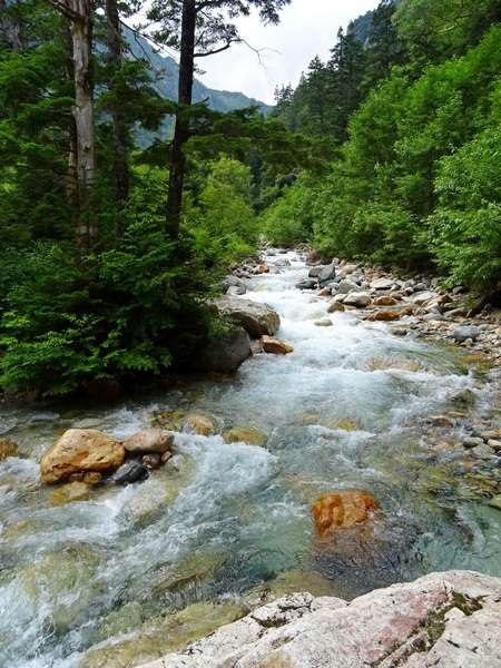
We’ve done the easy part, thirteen or fourteen kilos along the Azusa River and Yari Stream, gaining only a few hundred meters in elevation.
Now we’ve got six kilometers in distance and 1407 meters (over 5000 feet) in elevation change ahead of us. The lodge sits at 1773 meters. The tip of Yari’s spear rises to 3180 meters, making it the fifth tallest mountain in Japan.
We figured it would take us about five hours to get to the Yari ridge, and another thirty minutes to scramble up to the tippy top.
Some folks (folks with more energy than we (or I) have) take in both Mt. Yari and Mt. Oku-hotaka (the third tallest mountain in Japan at 3190) in a single hike, but that requires 1) walking a lot farther each day, or walking for five days instead of the three we had, and 2) crossing the famous, perhaps notorious, “Dai Kiretto,” which roughly translates as “the super jagged ridge that requires careful three-point (two hands, one leg or two legs, one hand) advancement, sustained for three hours, with any mistake meaning a long, long fall–most likely the last fall for you.” This “Dai Kiretto” is well-known as the most difficult bit of non-technical mountain climbing in Japan. If you’re scared of heights, or the weather is not so good, you definitely want to avoid it. If you want to consider it, you might consider a guide your first time, or at least going with someone who’s done it before. And you want to be extraordinarily careful. People have lost their lives here.
But like I said, that wasn’t part of our plan. Not this time.
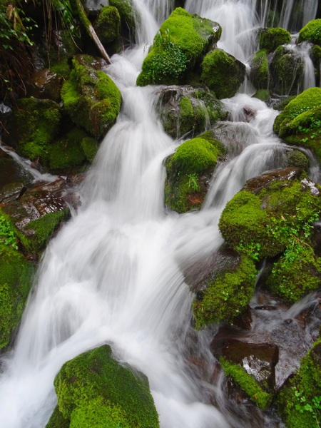
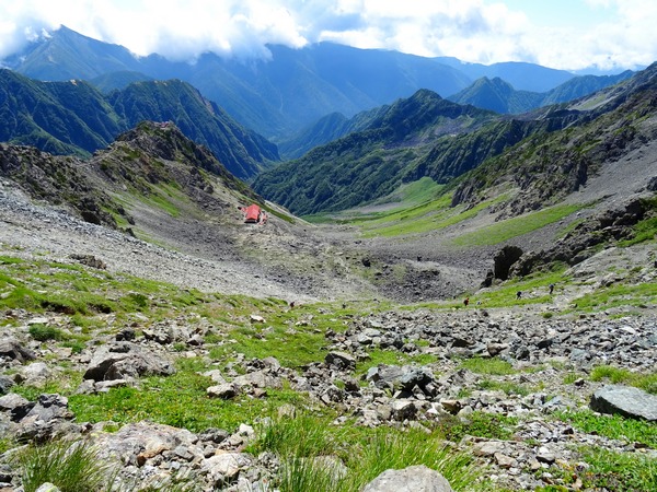
So back to the matter at hand. The day’s walk up from Yarisawa Lodge to Mt. Yari. The first couple of hours are a gradual incline along the Yari Stream, gradually winding into a cirque of mountains. Along the way, there are plenty of streams from which you can fill up your water bottles.
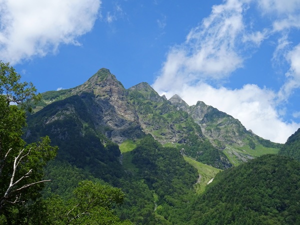
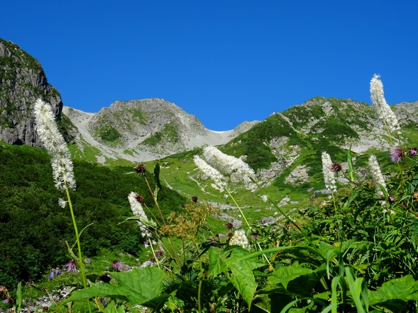
Then you come around a green slope, and for the first time on your day’s walk, see Mt. Yari rising up into the blue. This view is just after you cross the last stream on the walk, so here, make sure you have enough liquid for the remaining couple of hours. (Of course, the amount depends on the temperature.)
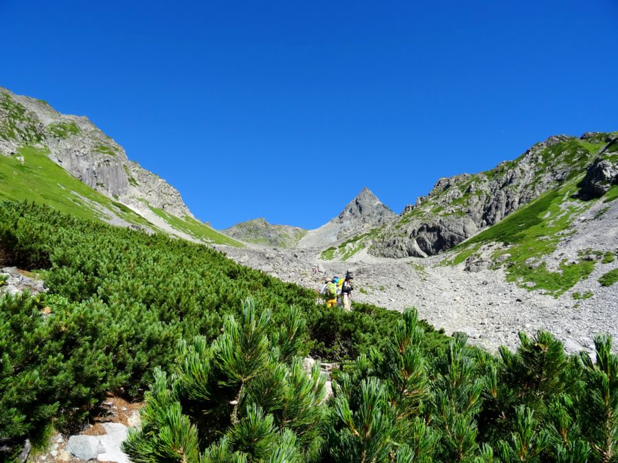
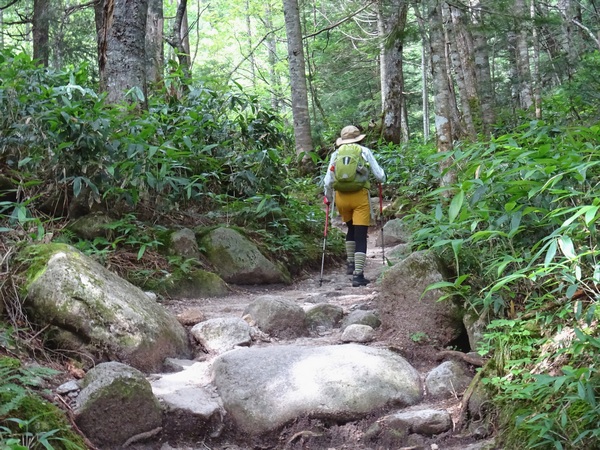
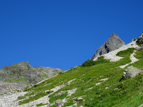
And up, up, up you go. The trail gradually gets steeper.
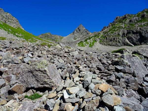
And rockier. Basically, it’s not a difficult trail, only steep. The trail itself gets a bit rocky . . . though the rocks in the picture above are offtrail.
You’ll surely want to take a lot of pictures, especially if you have a sky like we did, but taking a lot of pictures won’t make Yari get any closer.
Most likely, you’ll get tired. So make sure you’ve given yourself enough time to take a breather now and then, to slow down your pace as necessary.
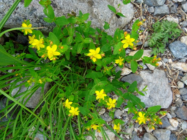
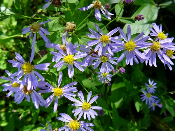
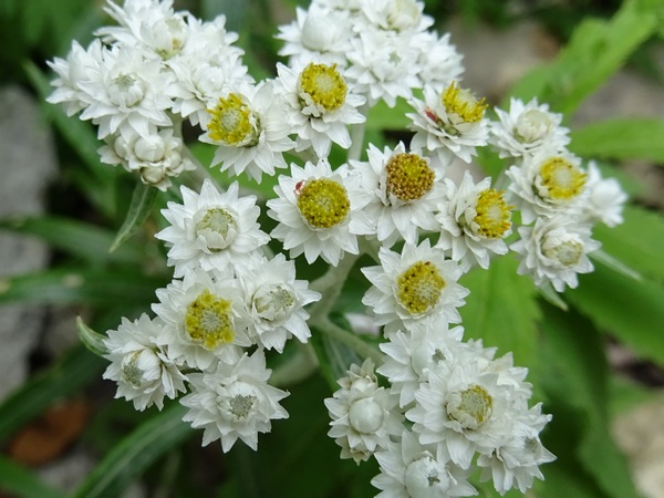
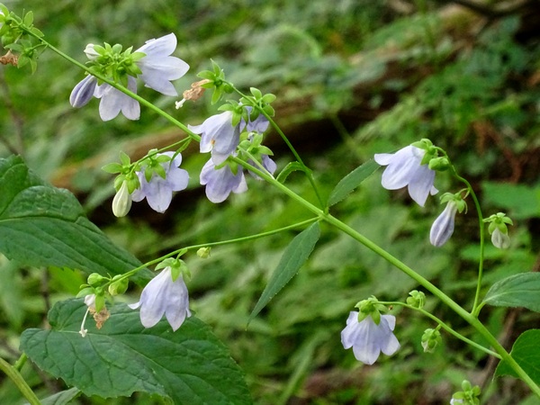
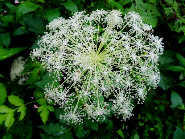
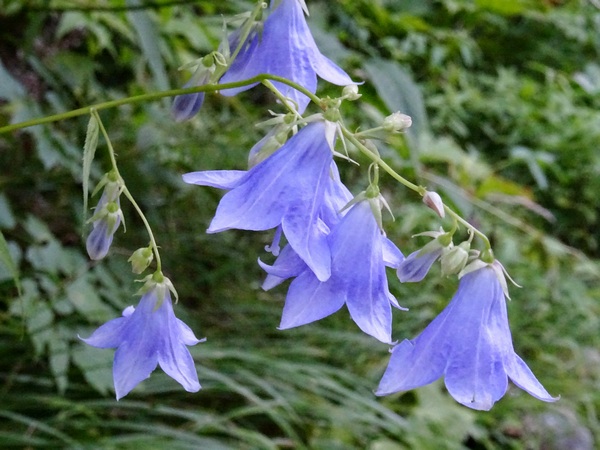
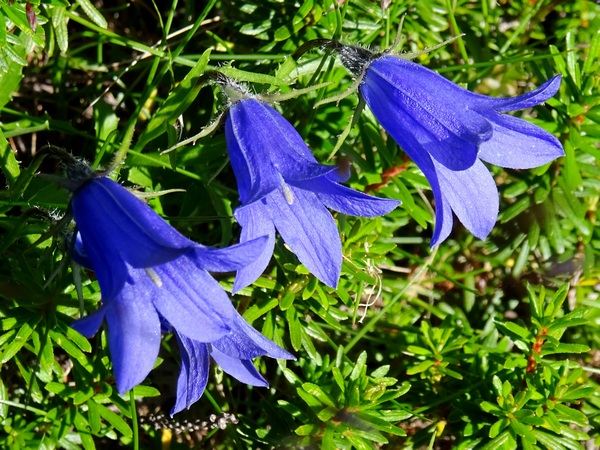
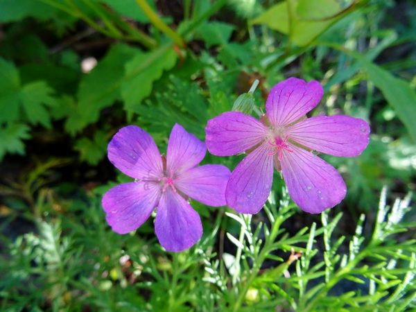
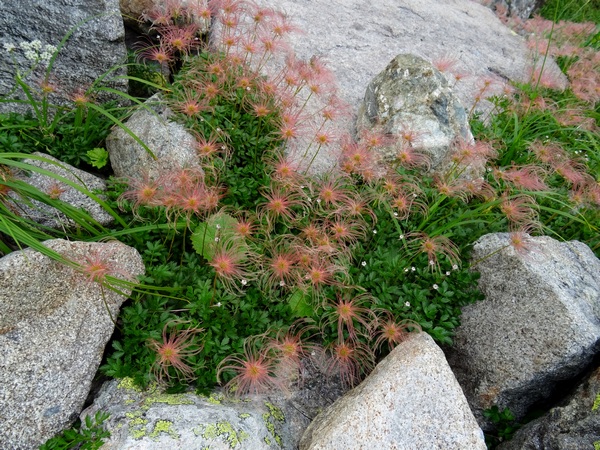
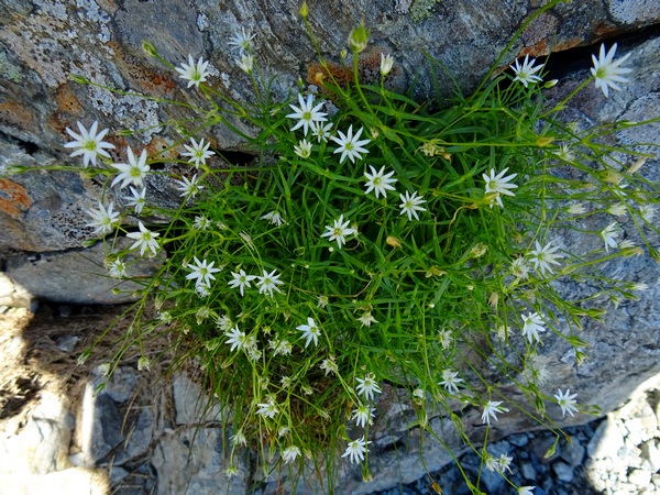
And of course, enjoy the flowers.
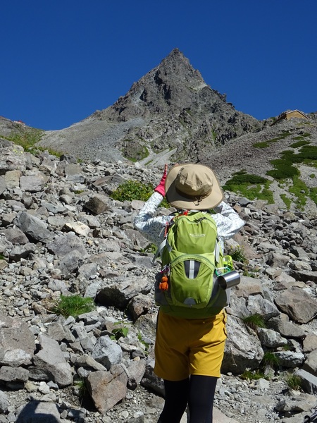
Almost to the ridge. In the end, what we thought might take about five hours took us four and a quarter. We tend to go a little faster than average course times going up, and about right on course times going down.
Balky knee.
And then we hit the ridge. All that was left was the thirty-minute scramble up to the summit. Below is what the view looks like when you’ve gotten a few minutes up the spear.
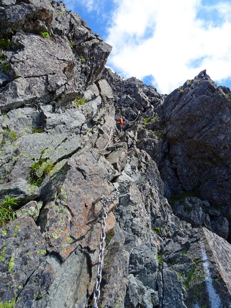
Yes, yes, you have to cling to chains and climb up ladders, and make sure of every step, but when you’re actually doing it, well, I think most people don’t feel a strong danger. But you do need to be careful.
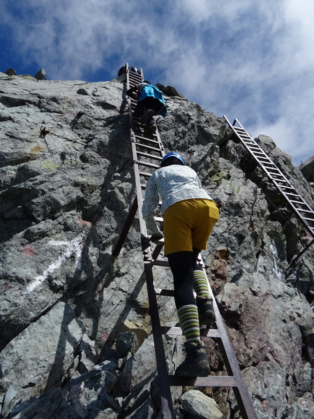
Up our Hearty Hiking leader goes!
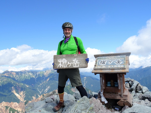
And then up I go. Up to the tippy top.
How lucky to have such a lovely view!
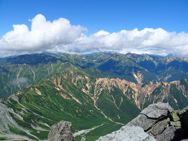
It’s the top of a spear, and the highest point in the area, so of course there is a 360 degree view.
Fog was just rolling into the space we’d just walked, but the far side was clear as could be.
You can feel how the mountains were formed.
Or as a good friend of ours once said:
The first in time and the first in importance of the influences upon the mind is that of nature. Every day, the sun; and, after sunset, night and her stars. Ever the winds blow; ever the grass grows. Every day, men and women, conversing, beholding and beholden. The scholar is he of all men whom this spectacle most engages. [. . .] Classification begins. To the young mind, every thing is individual, stands by itself. By and by, it finds how to join two things, and see in them one nature; then three, then three thousand; and so, tyrannized over by its own unifying instinct, it goes on tying things together, diminishing anomalies, discovering roots running under ground, whereby contrary and remote things cohere, and flower out from one stem. It presently learns, that, since the dawn of history, there has been a constant accumulation and classifying of facts. But what is classification but the perceiving that these objects are not chaotic, and are not foreign, but have a law which is also a law of the human mind? . . .
Ralph Waldo Emerson
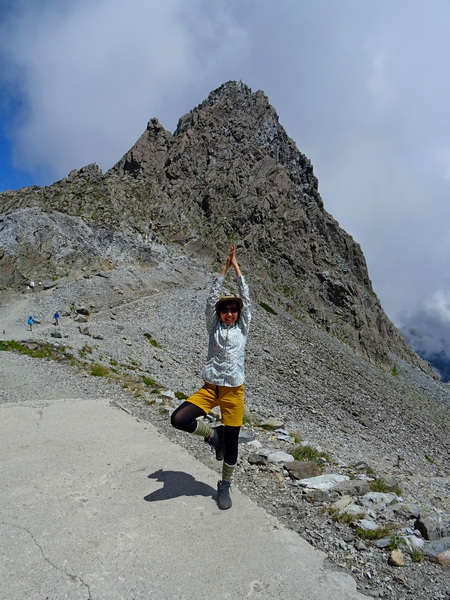
After coming down, our dear leader was feeling, shall we say, full of joyous energy.
Below is the view of what we’d climbed up.
Well, it was only about 11 a.m. We had a choice. We could spend the night on the Yari ridge, in the Yari ga take Lodge, and walk the entire twenty kilometers back to Komachi the next day . . . or we could head back right then, get back to the Yarisawa Lodge by three or four in the afternoon, spend one more night there, and have a more leisurely (five, not nine, hour) walk back to Kamikochi. We chose the latter. Which meant this second day would come to about nine hours of walking/climbing in all.
Yes, yes, it tuckered me out. But we made it back down to the Yarisawa Lodge safe and happy.
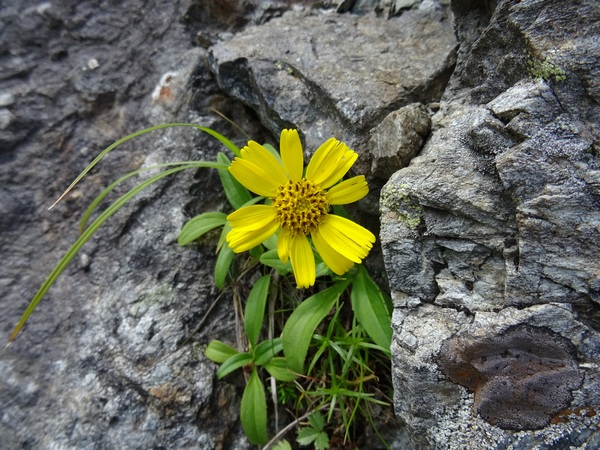
This yellow fellow reminded me of that single flower that blossoms outside Hester Prynne’s prison cell.
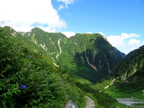
The view going down.
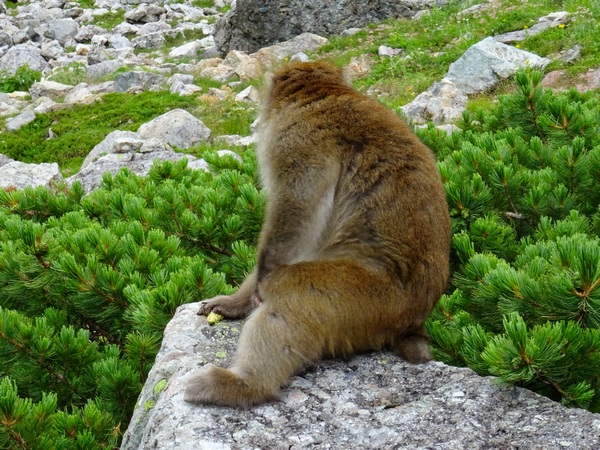
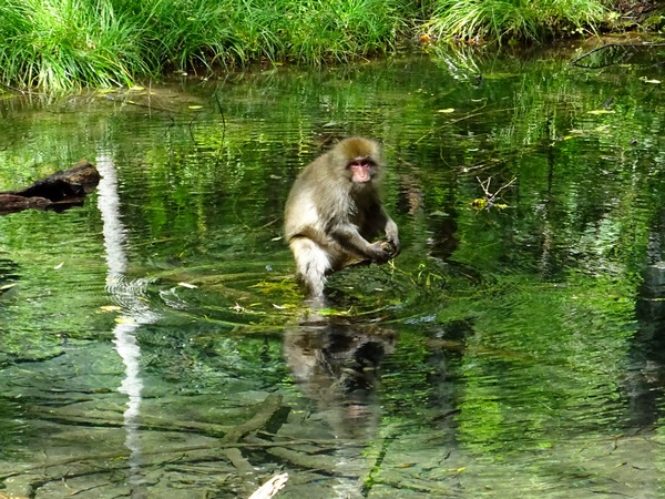
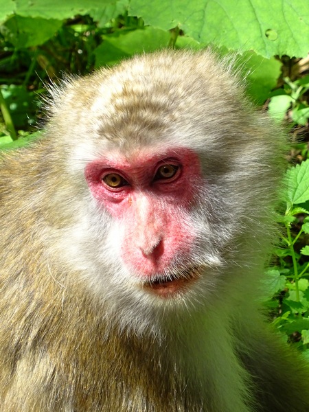
About halfway down, this monkey popped right out from the shrub pines, about three steps from me, and sat on this rock. He seemed to be wondering what we’d been up to. Had we really walked up to the ridge, then climbed the spear, just so we could scramble back down?
Yes, we had.
(from Persimmon Dreams: When you’ve got a spare moment, check out our music/nature videos on our “Persimmon Dreams” YouTube channel, or Steve’s books, When a Sissy Climbs a Mountain in May and Along the Same Street, available on Amazon, or directly from us.)