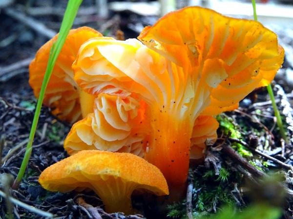
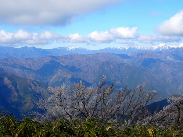
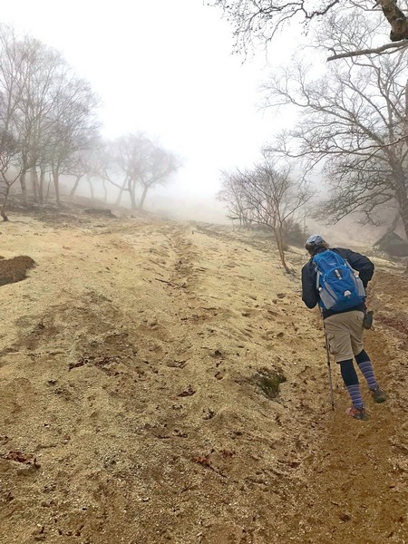
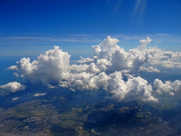
We were looking for a White Christmas.
So we Hearty Hikers drove up through Utogi to the Aozasa Mountain trailhead. By “White Christmas,” what we were thinking was 10 cm of snow. Or so. To walk in. We like walking in the snow.
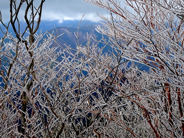
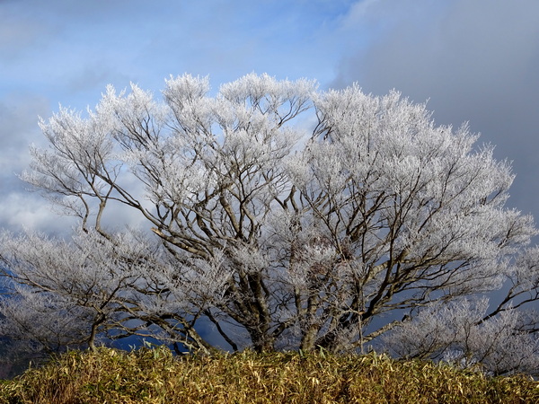
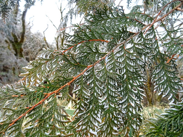
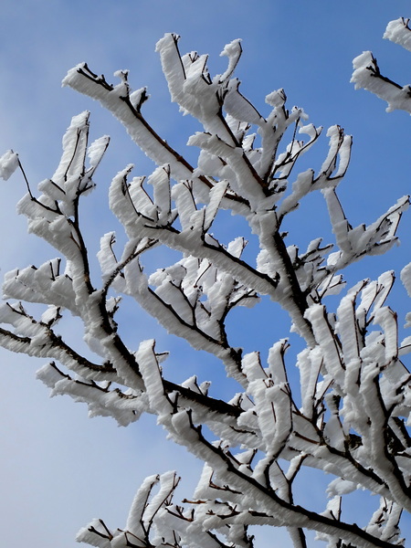
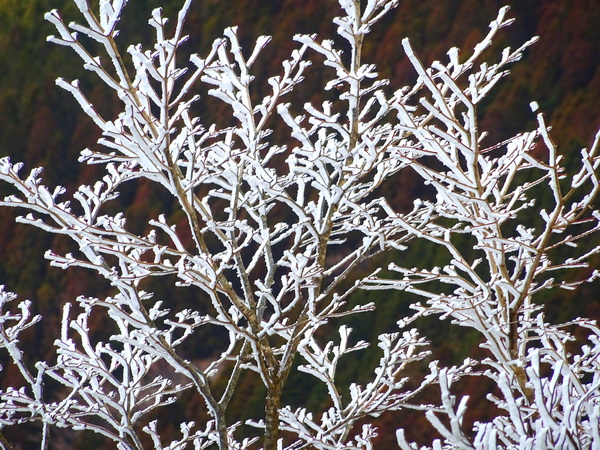
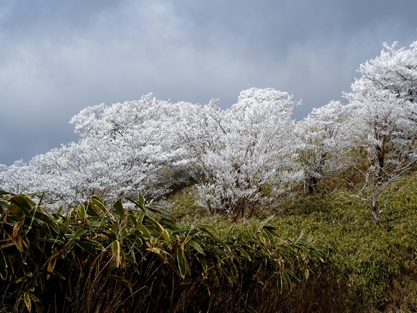
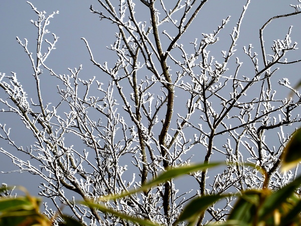
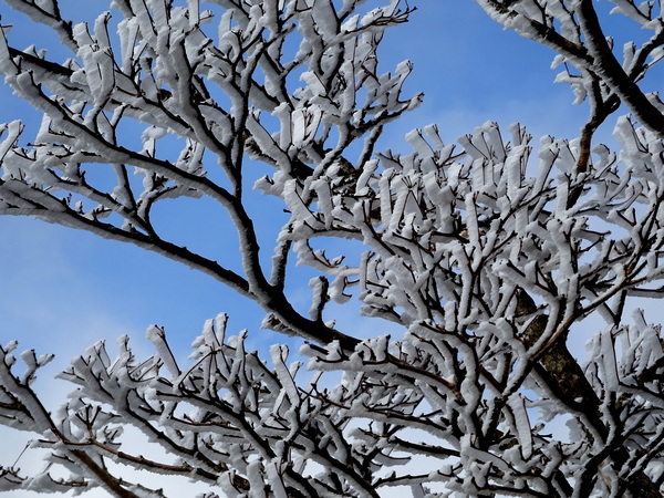
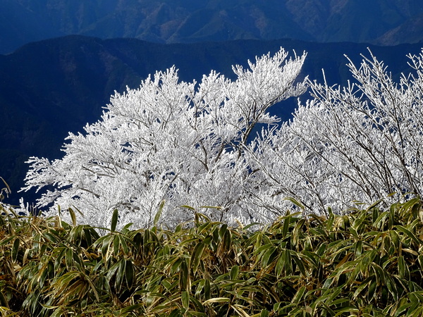
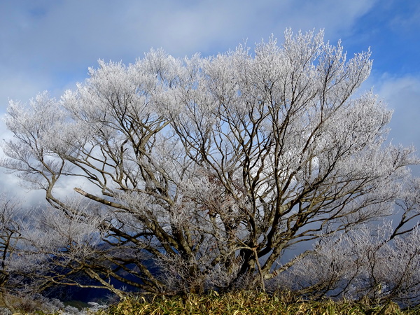
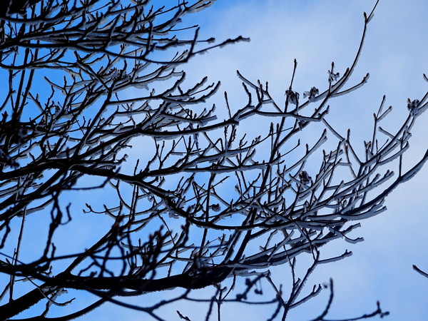
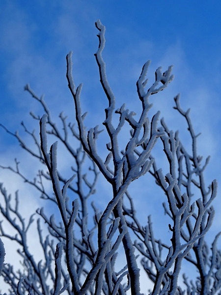
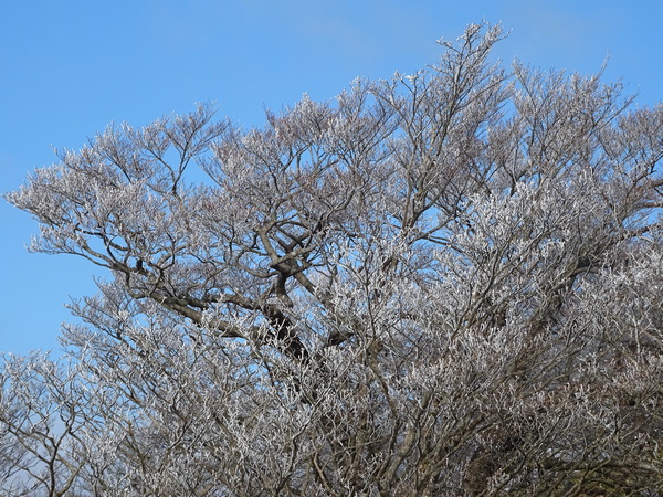
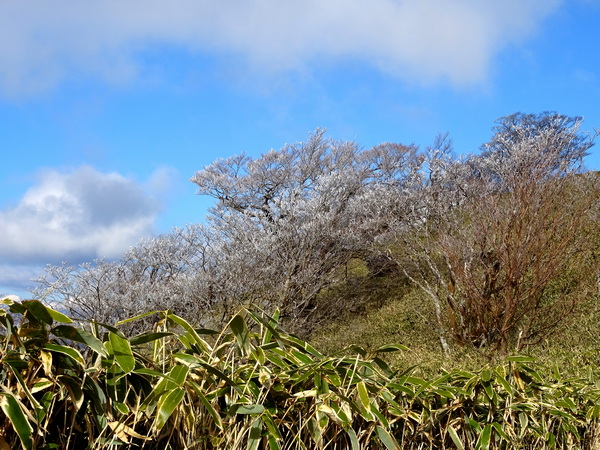
But there wasn’t any snow, not on the ground, anyway. In the trees, though, was an odd sort of wind-blown, “toothbrush” snow—and a lot of ice, too.
It was gorgeous.
All is one.
We. Truth. Hope.
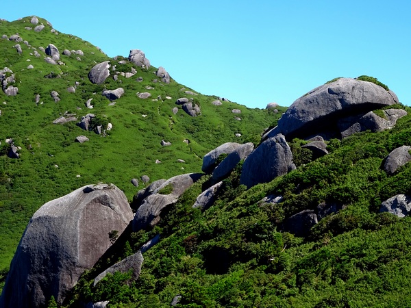
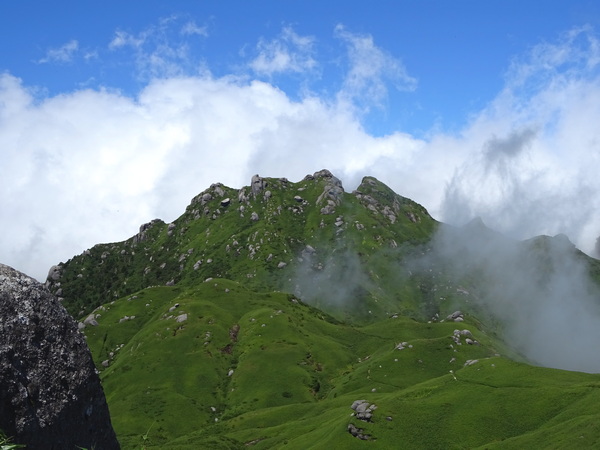
That’s what I felt walking along the Aozasa ridge today.
At Shizuoka University, I’m involved with an international club, YASHIO, that gives our Japanese students a chance to speak English, our students from all over the world a chance to speak Japanese, and everybody a chance to meet people from everywhere and share themselves and their cultures.
Everybody involved with YASHIO makes me incredibly happy. And when I see people from all over the world together, I feel just what I felt today.
We. Truth. Hope. All is one.
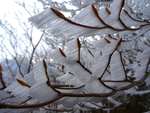 Wind-blown, “toothbrush” snow.
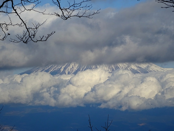
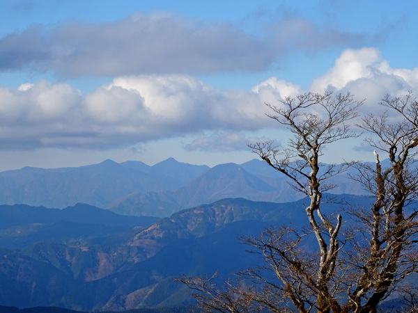
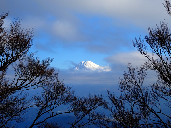
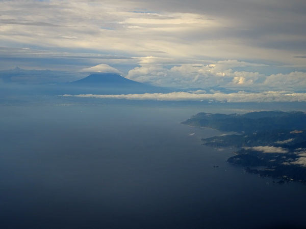
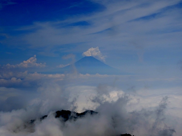
Mt. Fuji, this day, only showing a sliver of his belly.
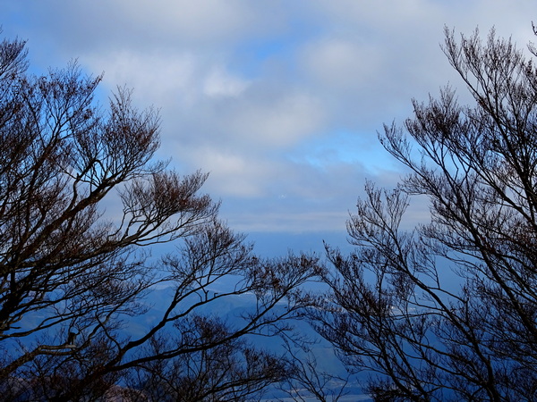
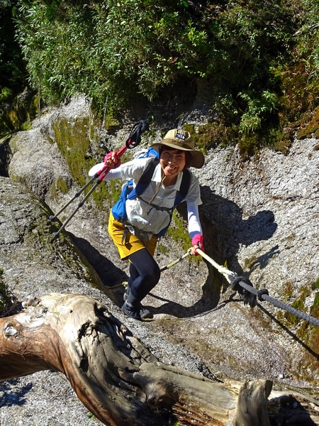
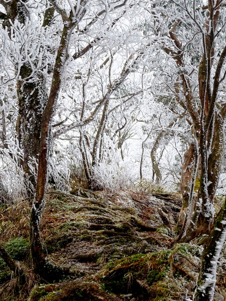 Through the icy trail tunnels.
You may have never heard of NDuaDuo, but they like YASHIO a lot, too.
NDuaDuo is a po po f(aux)k music group.
You may not have ever heard of po po f(aux)k music, either. Let’s just say, though, for the moment, that it’s a non-commercial style of music.
And what we can tell you about NDuaduo is they only sing what’s in their hearts.
A few years ago, they wrote a song, “We,” to sing at an international Christmas party.
Recently they recorded a very po-po-f(aux)k version of it—and they’ve asked me to share it with you now. If it’s not your cup of tea, well, then it’s not, but they say that if you like it, if it suits the way you like to think about Christmas, then they’re happy for you to share it with whomever you like.
Wishing you all a very happy holiday season.
Hugs from all of us here at Persimmon Dreams.
WE
We’ve gathered here at Christmas time from all around the globe.
We look into each other’s eyes—we see no xenophobes.
Together we can feel so much hope.
Hope. Hope. Hope. Hope. Ho-o-ope.
![]()
In your eyes I see a light that really, really shines.
Makes me feel that all of us are something quite divine.
You’ve got me feeling mighty fine.
Fine. Fine. Fine. Fine. Fi-i-ine.
Sri Lanka and Germany might be represented here.
Malaysia and Shizuoka’s spirit is feeling awful near.
What can you possibly see that anyone would ever have to fear?
Fear. Fear. Fear. Fear. Fe-ea-ear.
Maybe we’ve got some Christians here, a couple of Muslims, too.
A Buddhist, a Hindi, might be sitting next to you.
You are they, and they are you, you know it’s oh so true.
True. True. True. True. Tru-u-ue.
People from Indonesia might be here by chance.
From China, Georgia, Vietnam, Ghana and France.
From Thailand and Slovokia, it makes me want to dance.
Dance. Dance. Dance. Dance. Da-an-ance.
Well, I’m really just so happy that you are sitting here with me.
So look into my eyes and tell me what you see.
I see you and you see me—and we are really we.
We. We. We. We. We-ee-ee.
We. We. We. We. We-ee-ee. We-ee-ee. We-ee-ee.
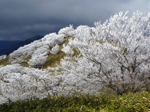
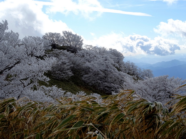
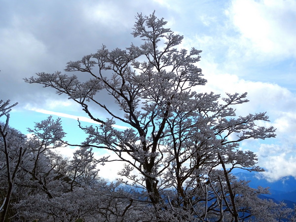
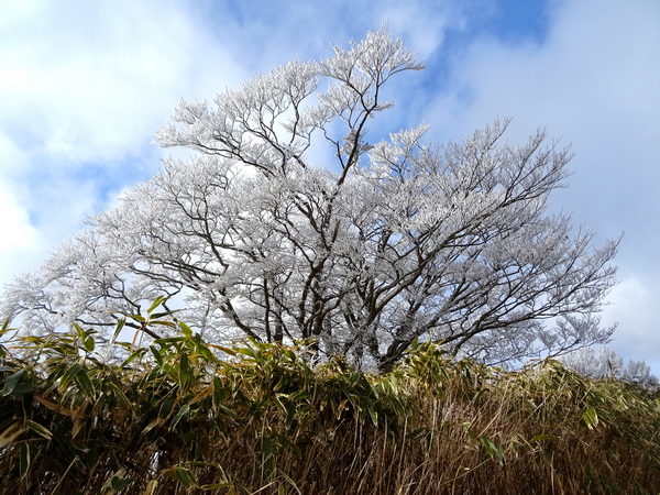
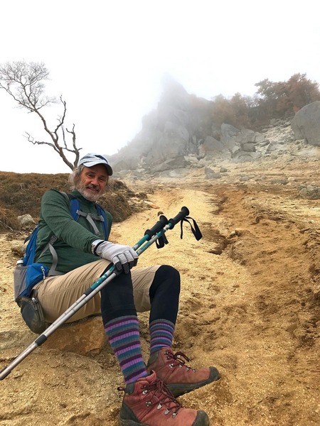
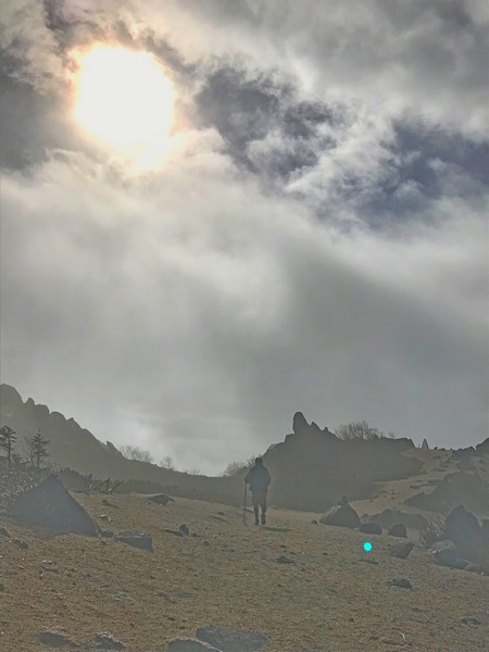
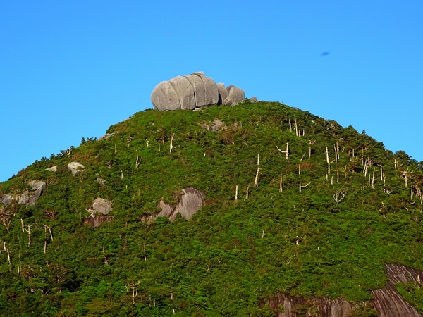
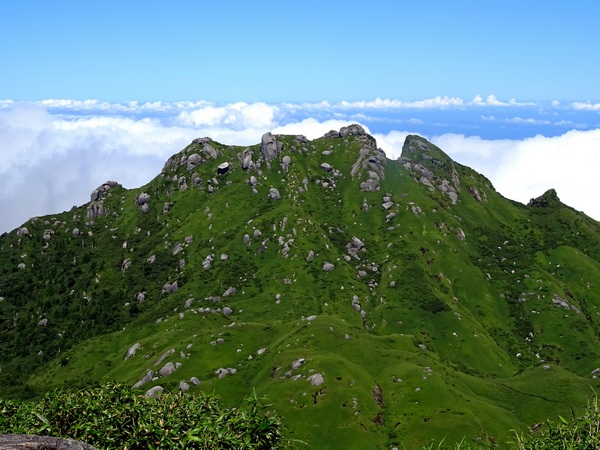
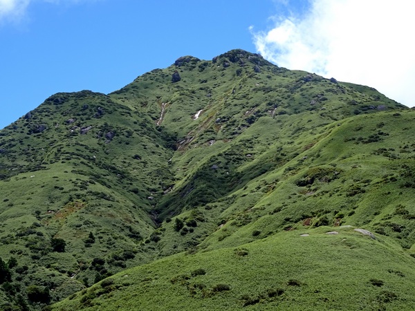
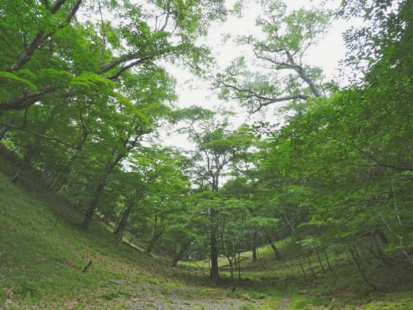
A beautiful day on Aozasa.
![]()
When it’s done, all there is to do is to express a whole lot of gratitude.
 Mid-December.
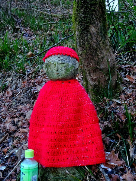
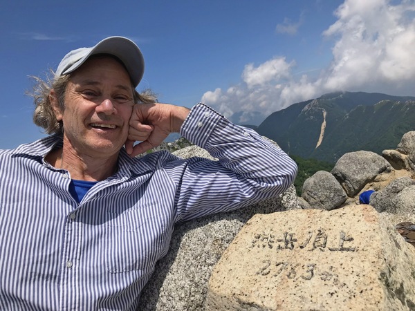
 Some facts. October 21. A two-day hike up and down Mt. Kobushi (2475 m) from Mokidaira (1433 meters). Distance going up along the Chikuma River, about 7 km, coming down via Mt. Sampo and Mt. Oyama, a bit farther. The trailhead, by car from Shizuoka, about three hours.
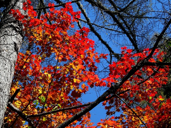
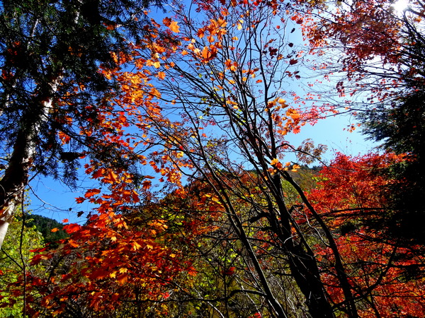
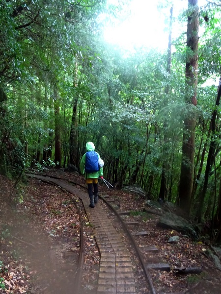
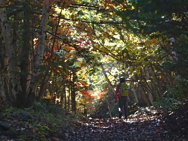 You can feel yourself stepping into another world, into a world of color, into a big warm room filled with love.
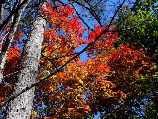
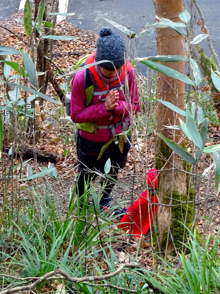
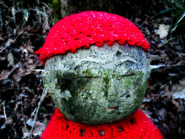
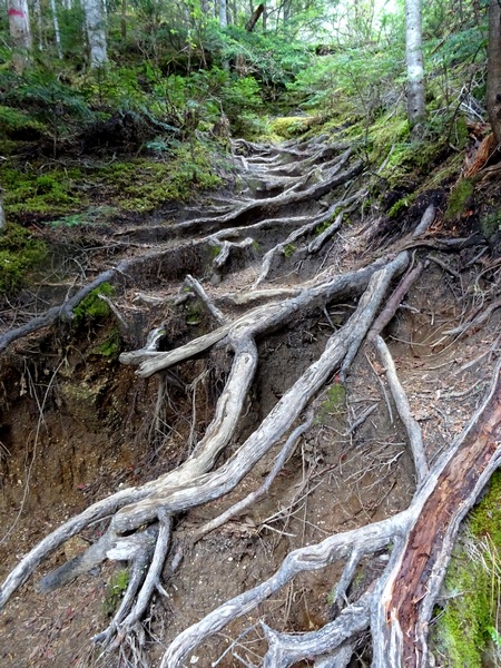
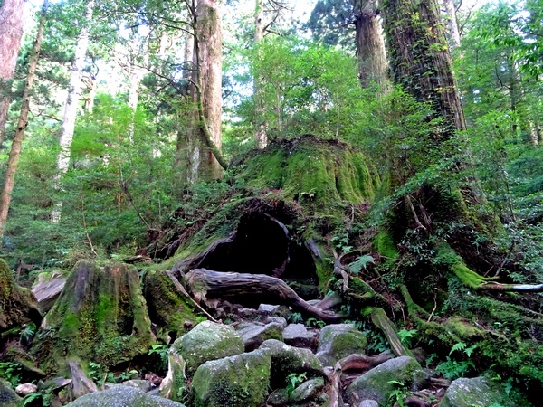
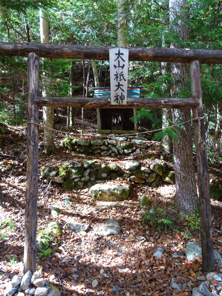 You come to a shrine. Right on the trail.
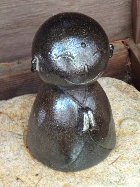 Inside you meet Jizo-san. He’s about 10 cm tall. But it doesn’t matter how tall he is. It only matters the expression on his face. What a sweet, comforting compassionate fellow he is! How at ease he makes you feel. You put your hands together. You hope maybe, somehow, that you can repay the favor. Sometime, somehow.
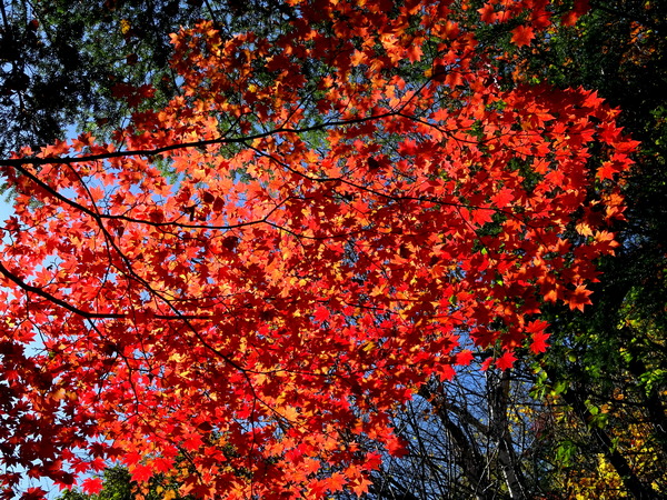
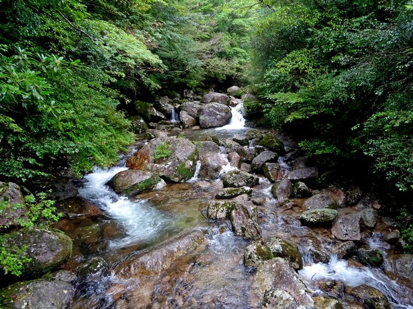
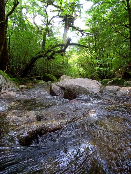
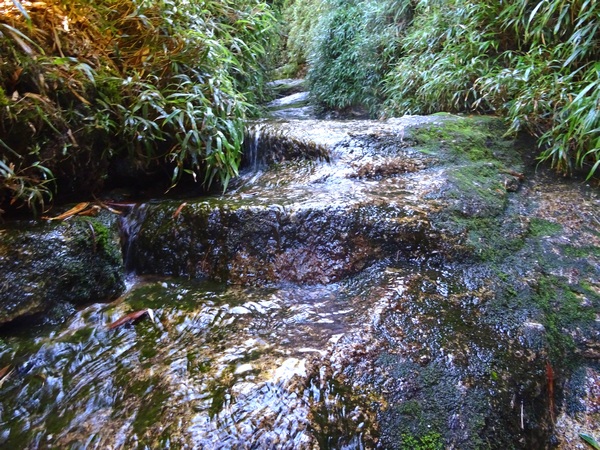
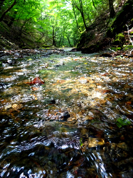
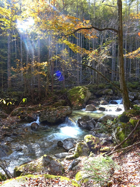 The river rolls on . . . water so pure.
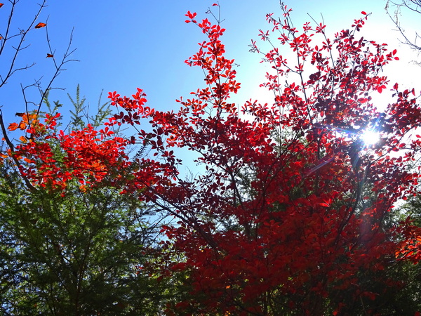
 Maybe you’ll even see that girl turn a cartwheel twirl.
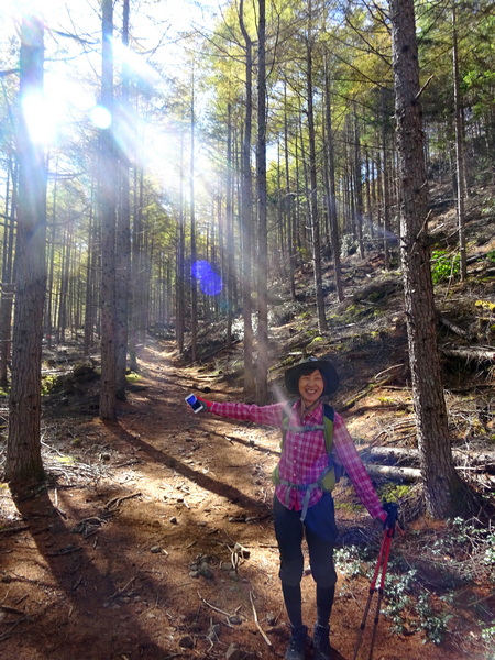 And it’s all right to feel joy.
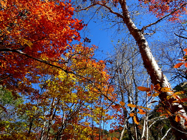 It’d be hard not to.
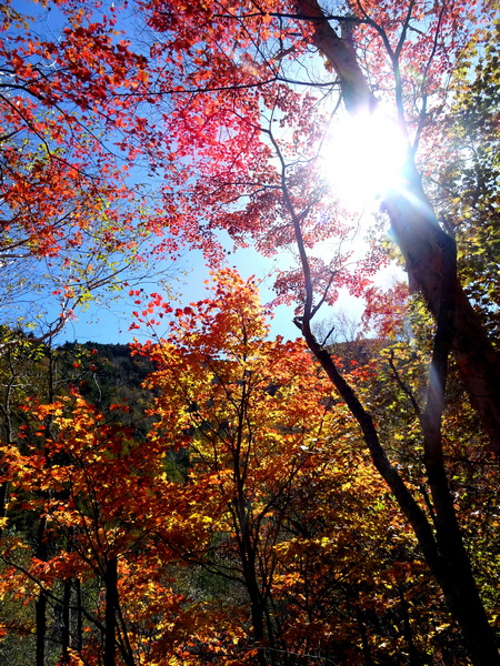 You’ve felt the light through the trees . . .
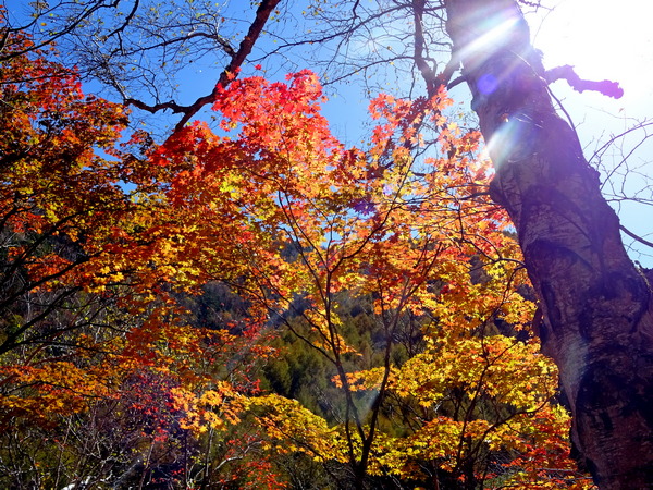
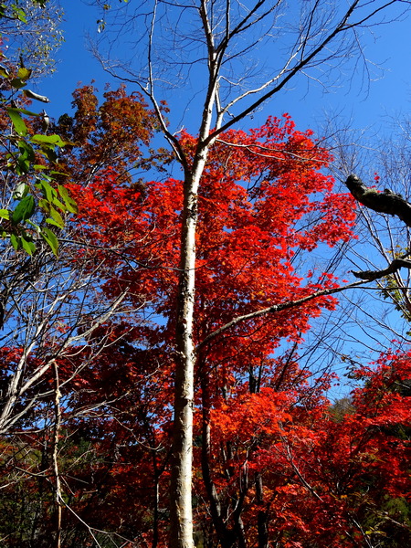
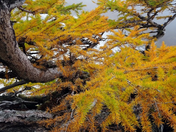
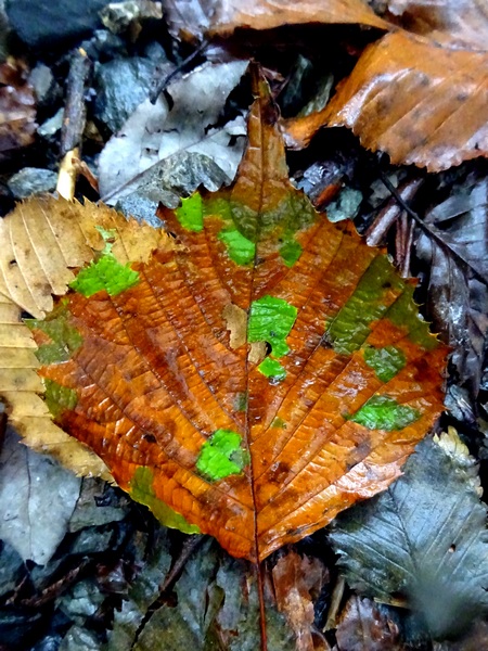
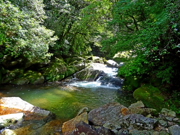
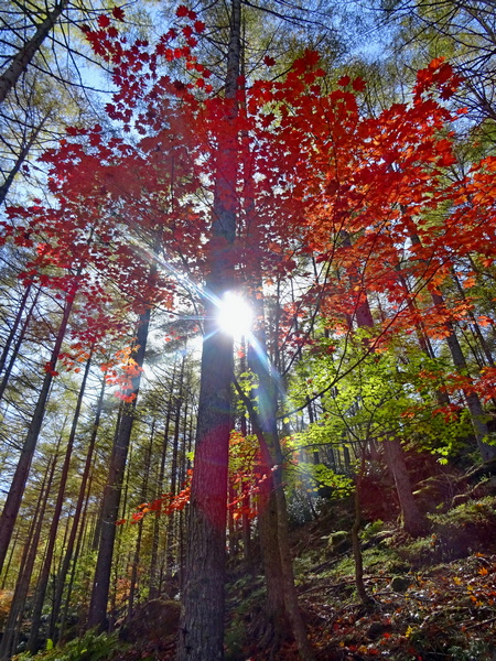 Recognize each leaf’s equal worth—and everything becomes easier. Everything begins to make sense.
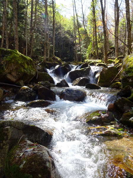 And the river rolls on.
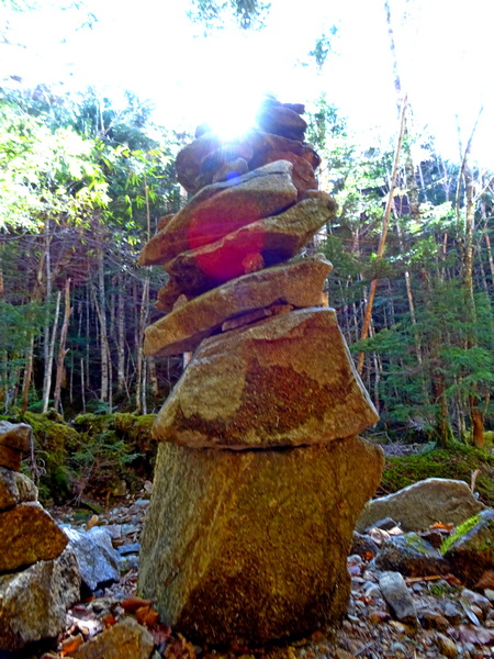 If you come to a stack of rocks, go ahead and put one on yourself. It might be a light for the next person who comes along.
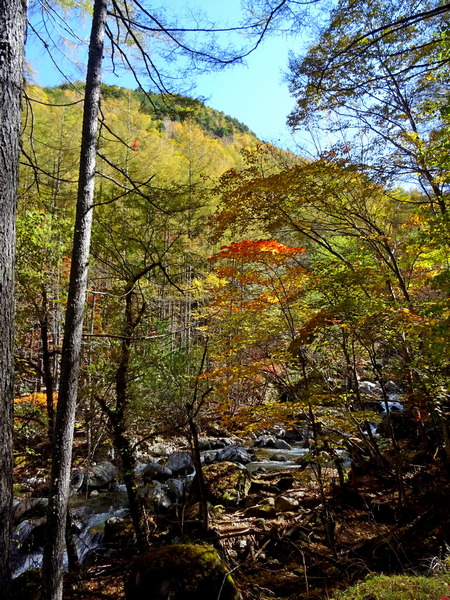
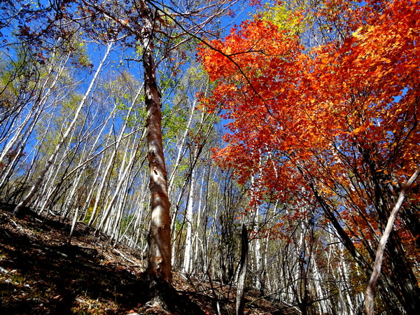
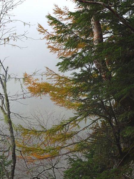
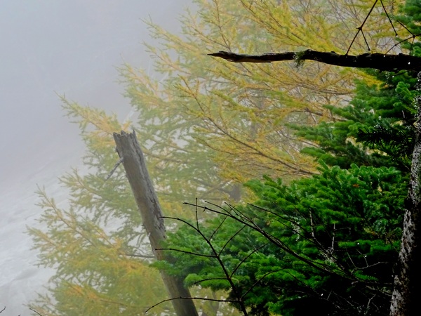
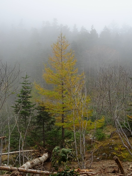
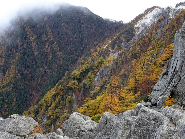
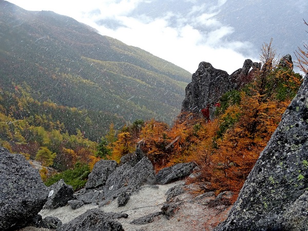
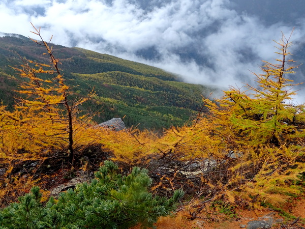
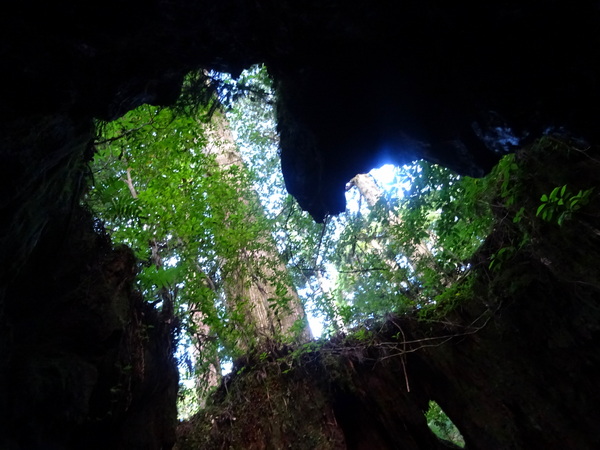
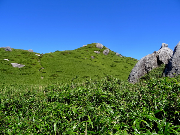
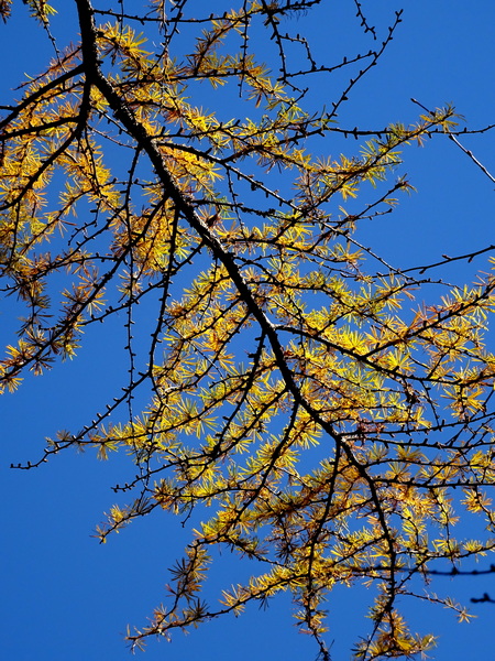 And up ahead. What’s that?
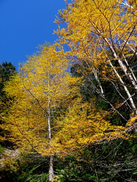 Why it’s the larch tree/blue sky combo you were looking for last week!
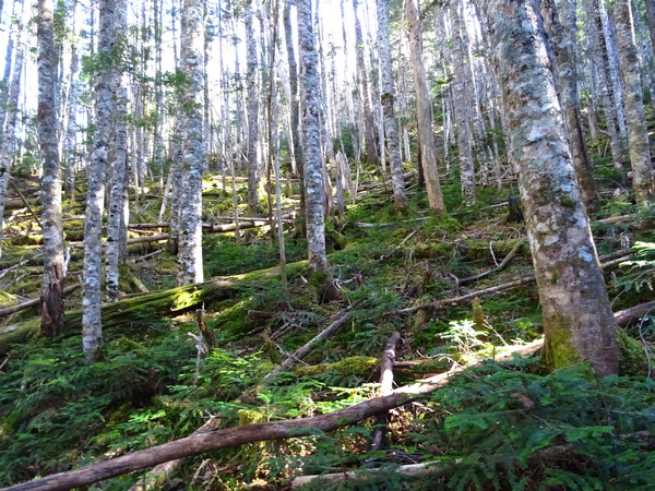
 . . . and you’ve got a completely different view.
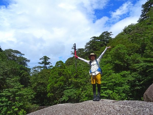
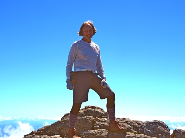
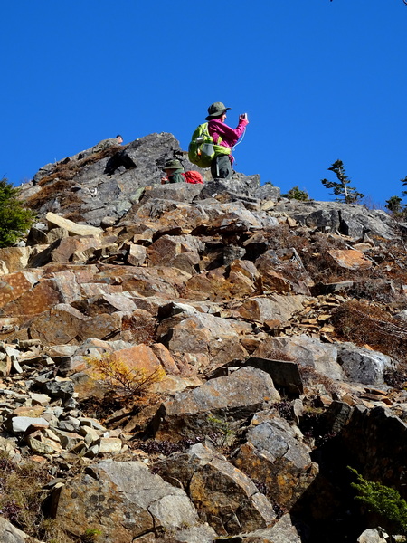 And there you are on the summit!
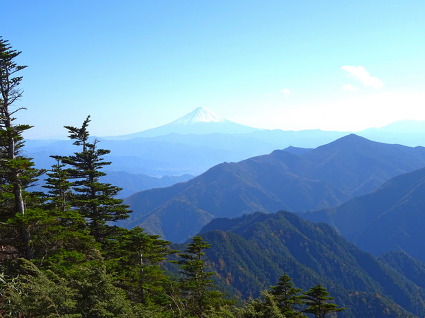
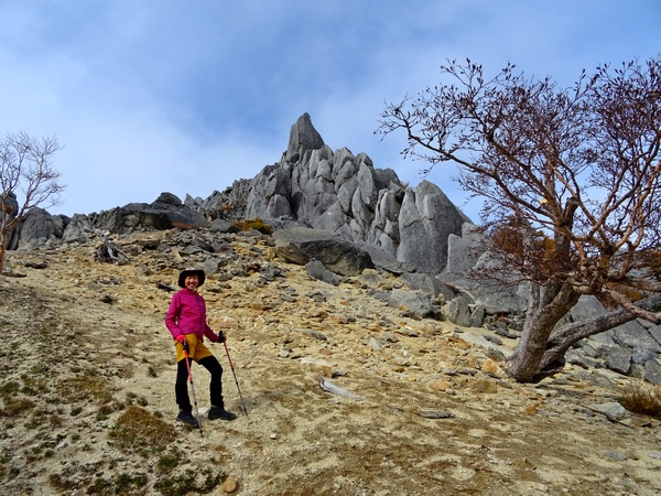
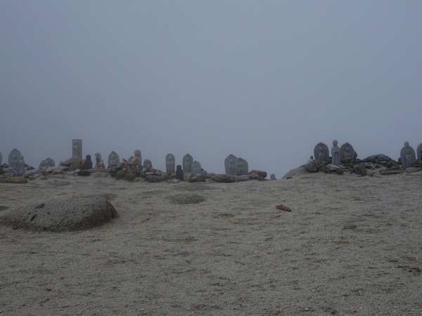
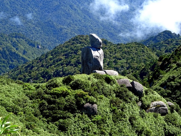
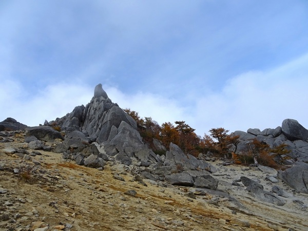 The obelisk atop Mt. Jizo, one of the three peaks comprising Mt. Ho-o-san-zan, in the southern Alps.
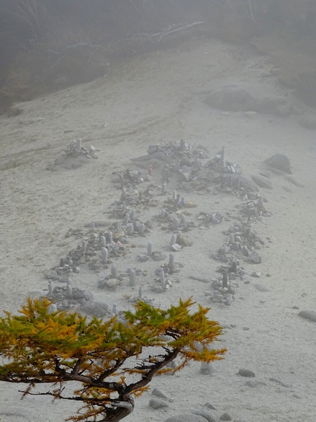
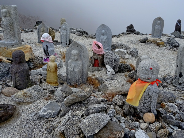
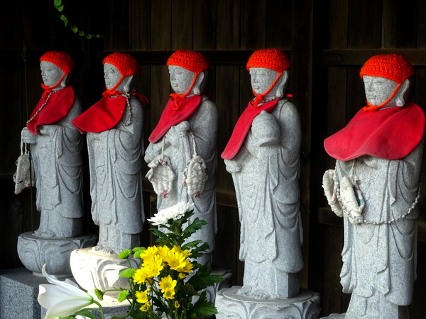
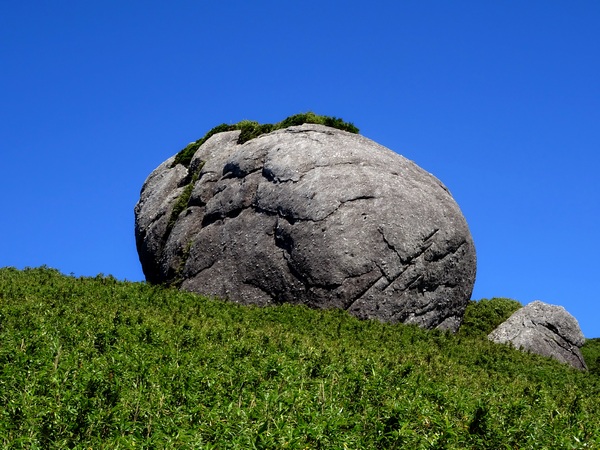
 . . . and that also helps explain the large number of Jizo statues on the top.
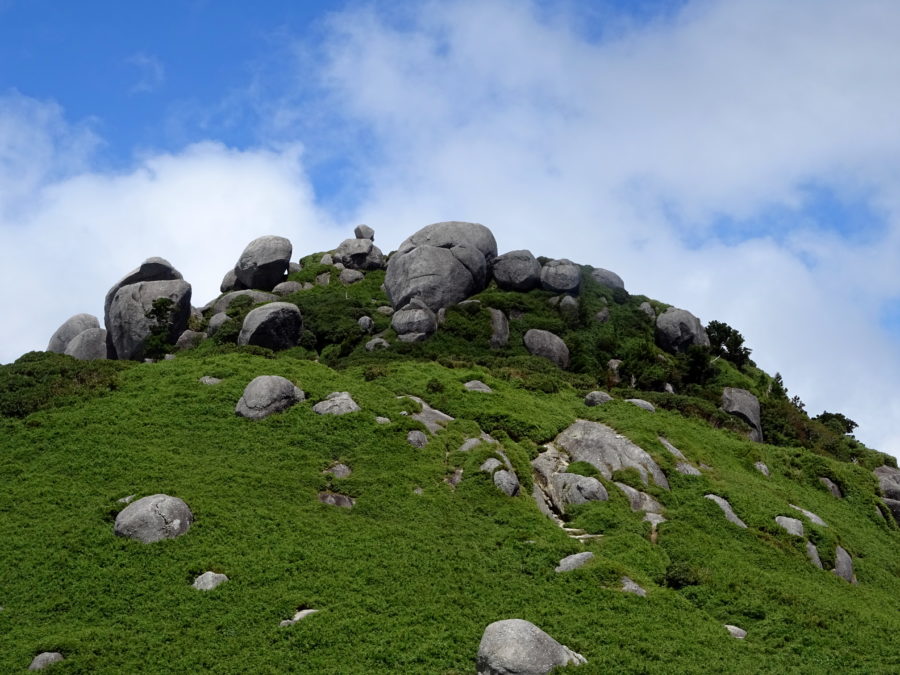
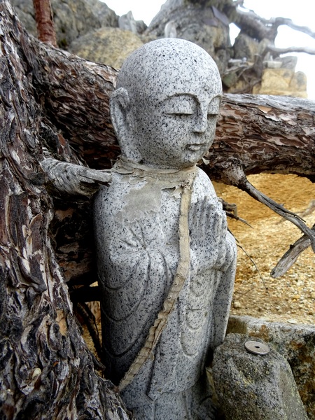 . . . If you tried to describe the appearance of the majority of Jizo statues with a single word, I think you’d have to choose ROUND.
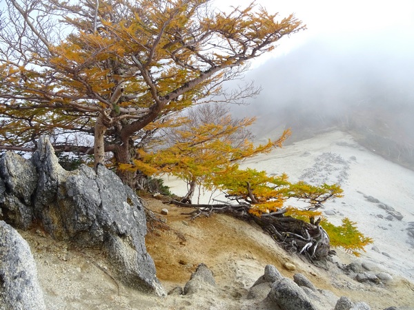
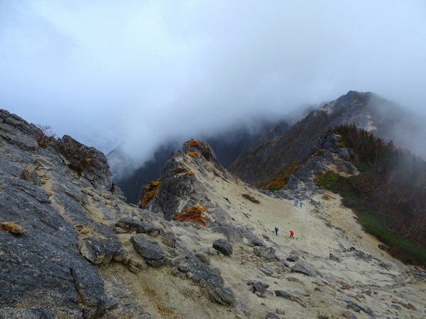
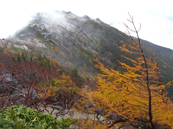
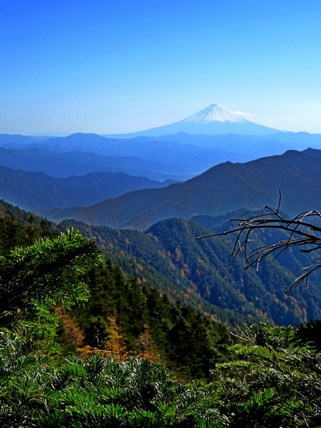
 That’ll make you feel pretty good as you zero in on Mt. Yakushi.
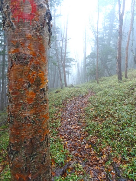
 NDuaDuo: When your eyes are on the ground / There really is so much to be found.
 It’s a time to be joyous. A time to feel content. But it’s also the beginning of the cool weather. The days and nights are now of equal length, but for the rest of the year, the days are only going to get shorter, and the nights longer.
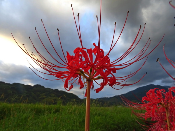
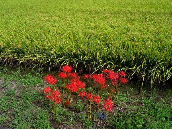
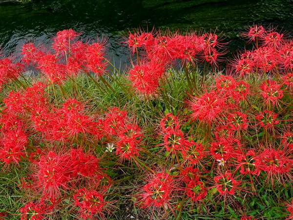
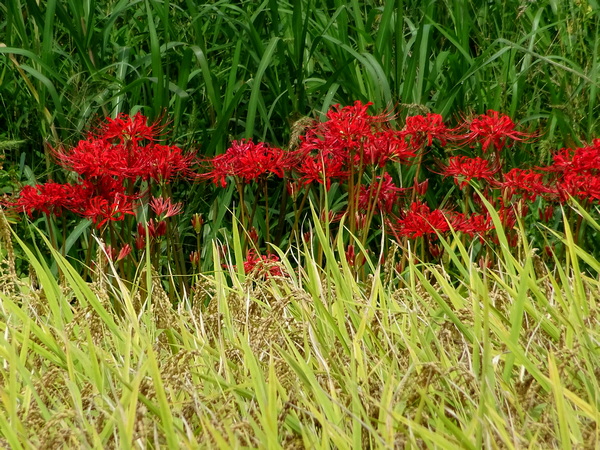
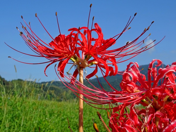
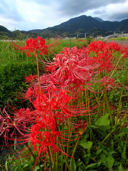
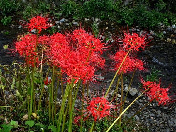
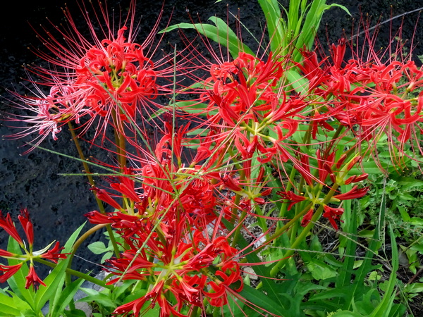
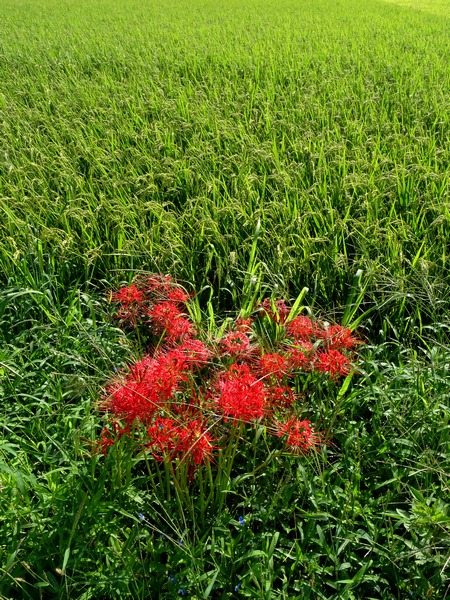
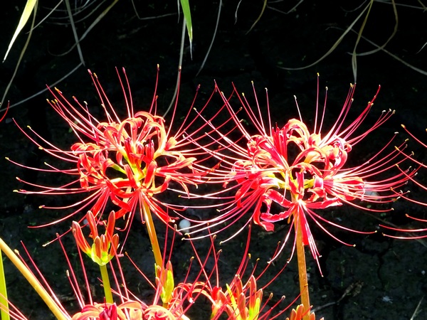
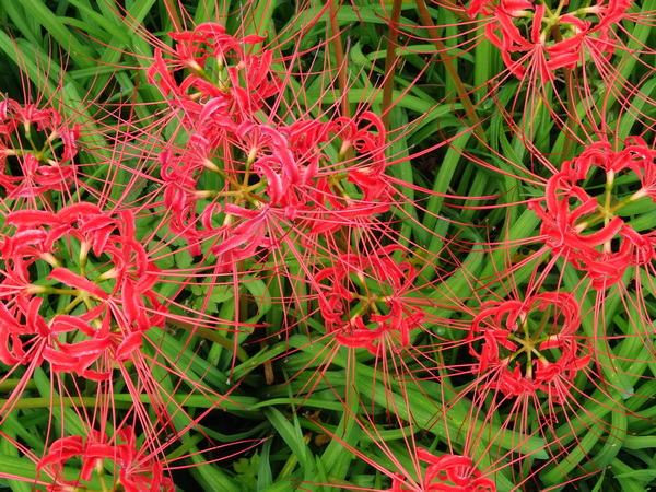
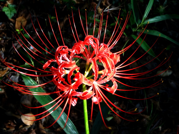
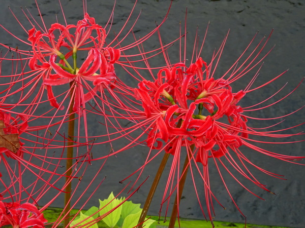
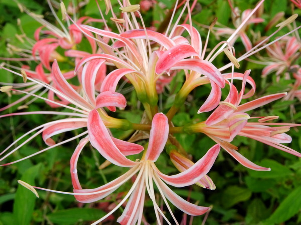
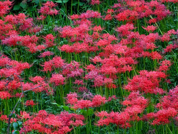
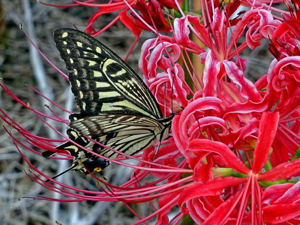
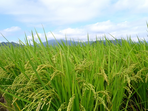
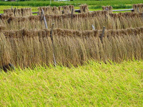
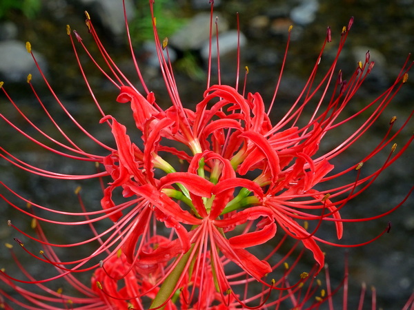
 Not all of the spider lilies are red. I like them in all colors. But I especially like the red ones, and I especially like the ones next to a rice field turned golden yellow . . .
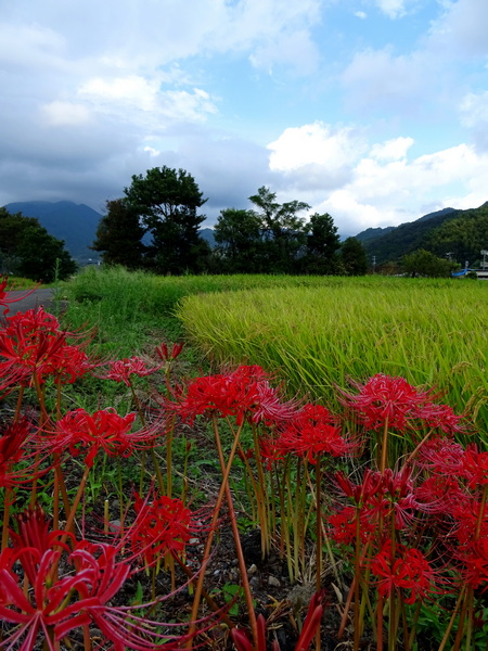 . . . and especially like them next to a golden rice field under a blue sky. I’m simple. Primary colors do wonders for me.
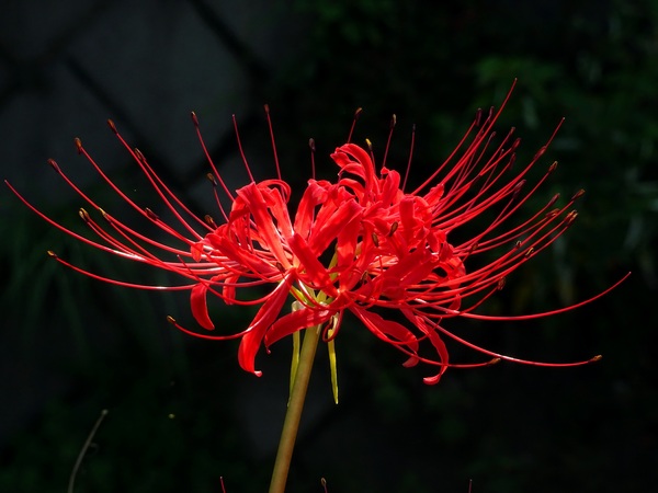
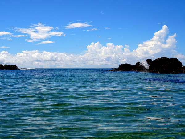
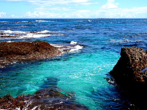
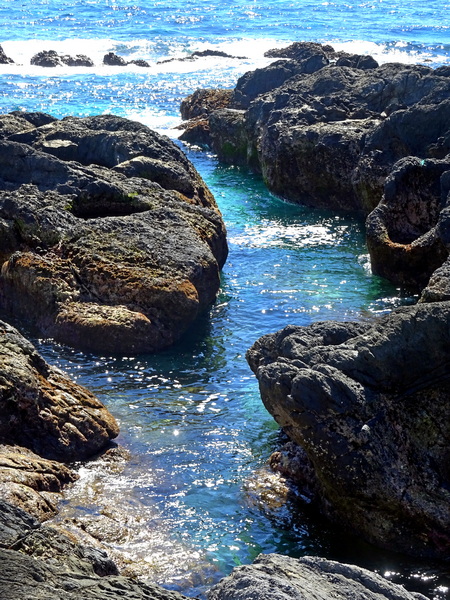
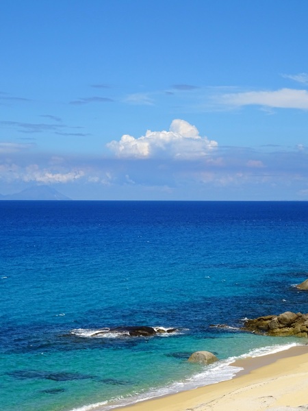
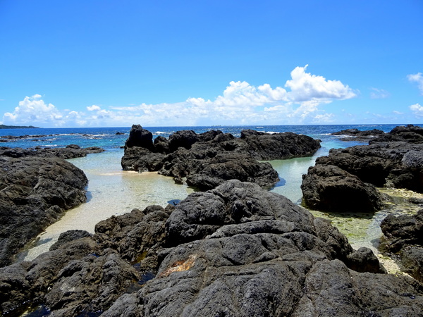 The Kurio tide pools. Lots of little metallic blue fish here. Starfish, too. A good place for small children to explore (with parents nearby).
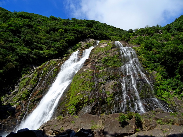
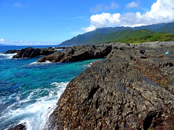
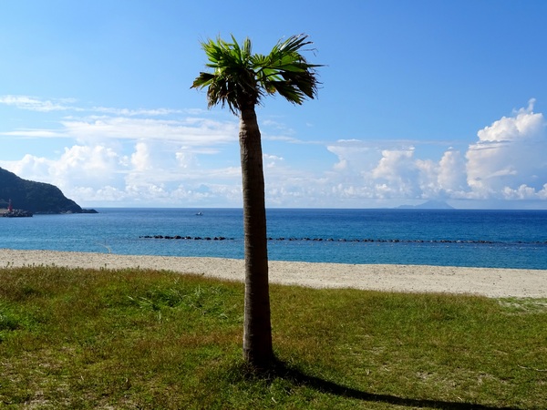
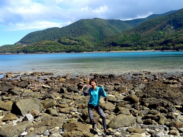
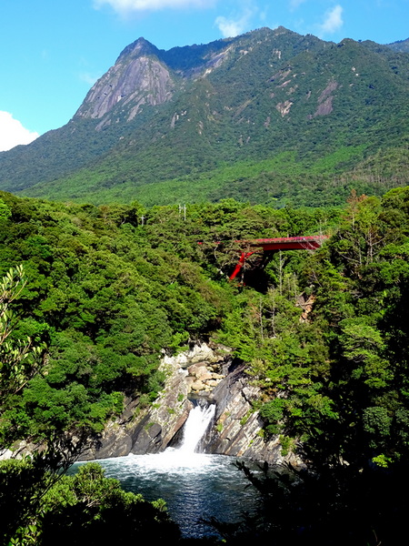
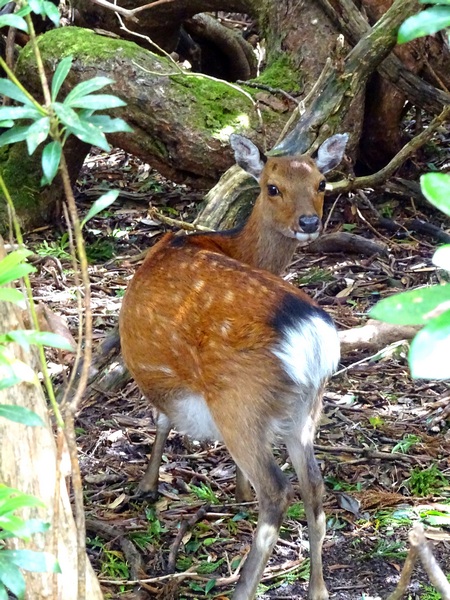
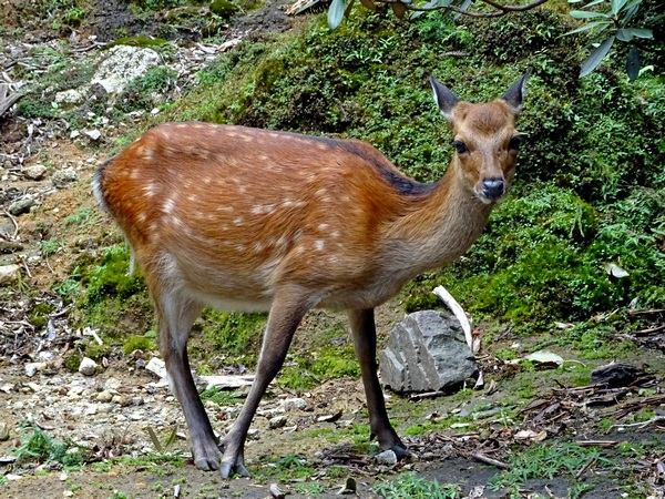
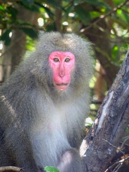 When you drive around the island, your average speed is about 40-50 kph (25-30 mph?). There is not a whole lot of development. Drive long enough and you’re bound to meet deer and monkeys.
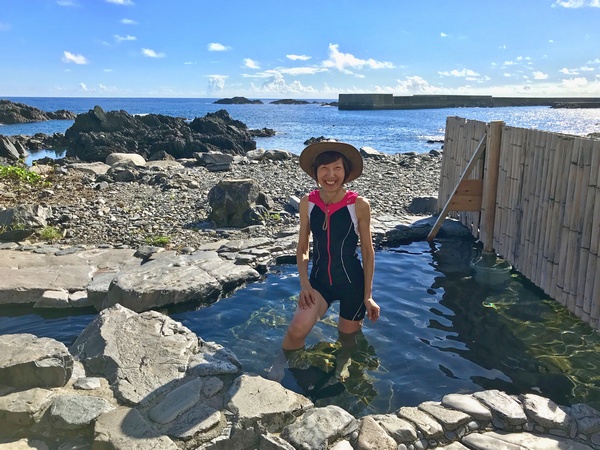
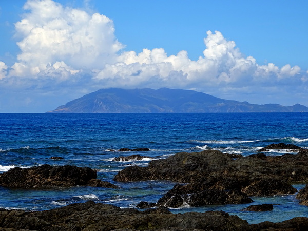
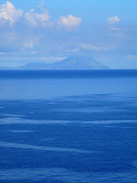
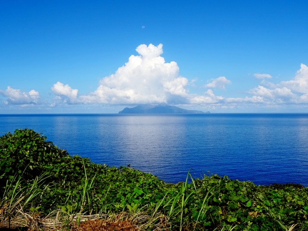 Kuchinoerabu Island from the northern coastline.
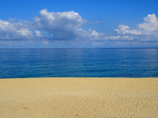
 Here, I recommend a little yoyu.
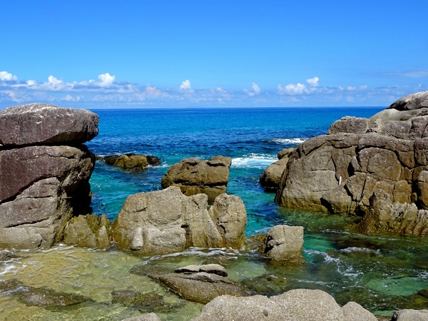
 Along the road, yoyu.
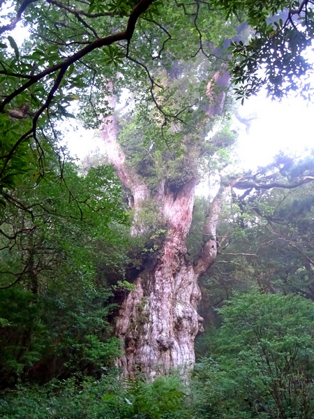
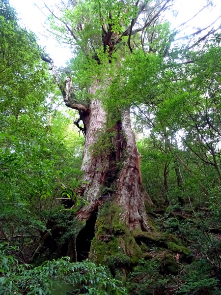
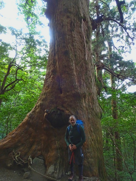
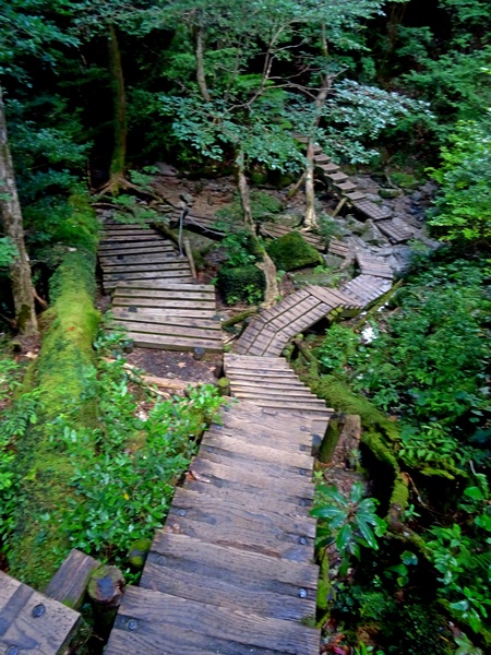
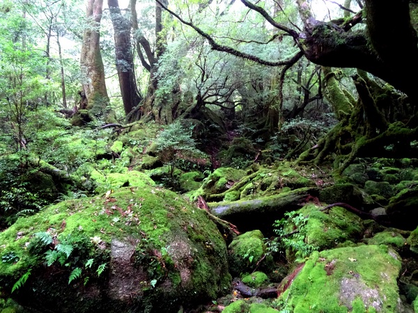
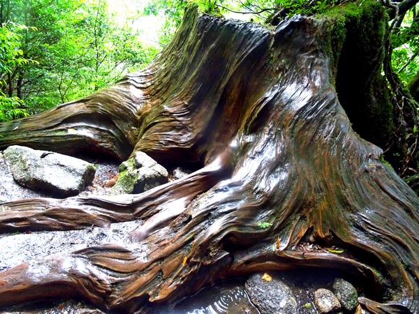
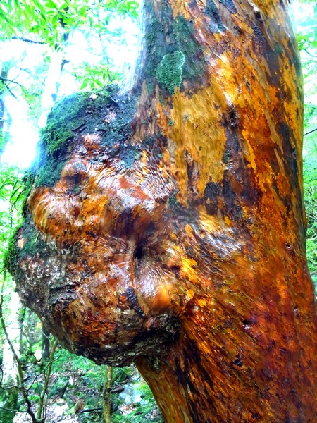
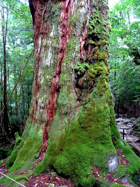
 A small early lunch and then it was down the other side on the trail that leads to the Jomon Sugi cedar tree, almost certainly the oldest tree in Japan, with estimates from 2000 years old to 7200 years old. Other much smaller trees have been proven to be over 3000 years old so I’d personally guess (sitting in my armchair) that Jomon is at least 4 or 5 thousand year. Old enough.
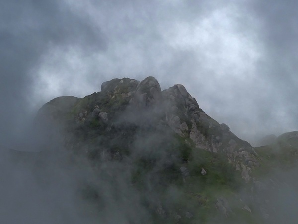
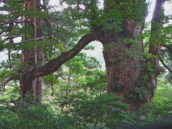
 A friend.
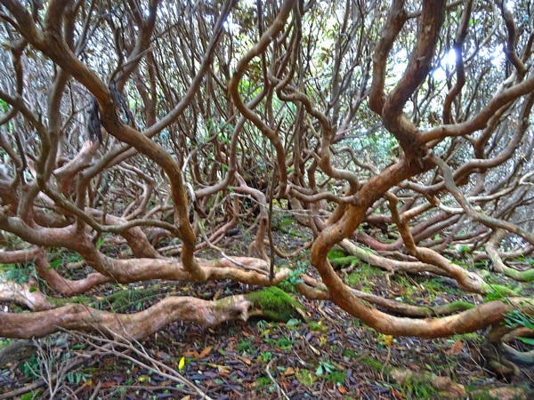
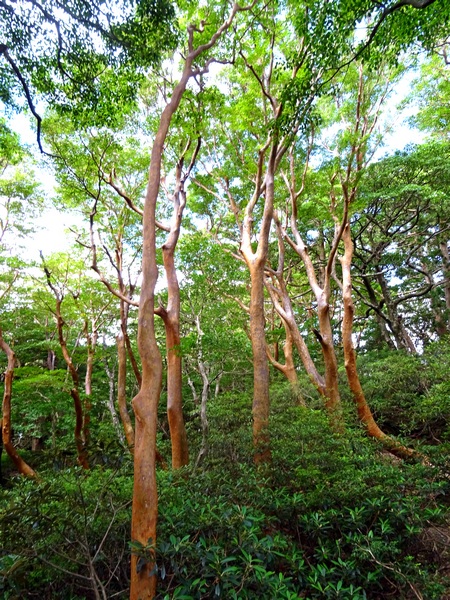 Himeshara trees and shakunage.
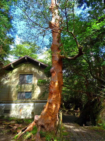
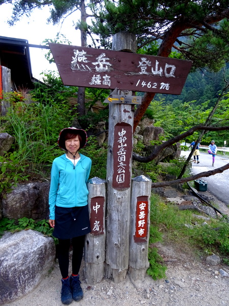
 An early August hike/climb up Mt. Tsubakuro. Actually, the first leg of a three-day hike, two nights on the mountain ridge.
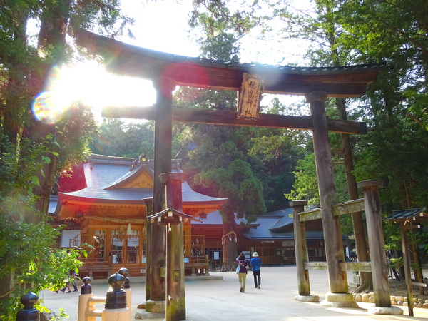
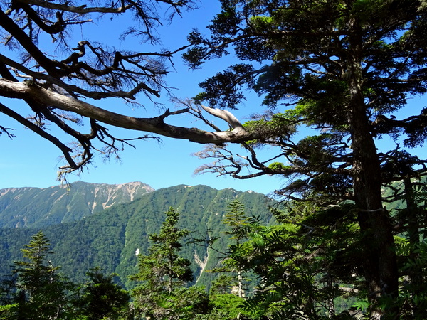 About two, two-and-a-half hours up, the forest opens up a little, and you begin to get nice views of the Mt. Yari ridge.
 Beautiful trees glimmering in the sunshine.
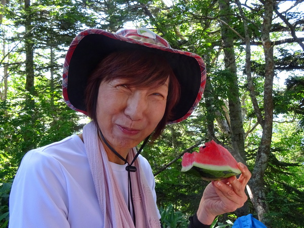 A first time ever. Somewhere near the top of the trail, a shop dealing watermelon. The trail was really crowded, at least at the bottom, as so many people start at the same time. There were at least a hundred folks eating watermelon in the ten minutes we were there.
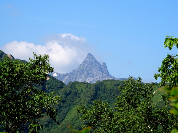 Finally, Mt. Yari comes into view.
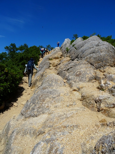 And most of the green gives way to blue.
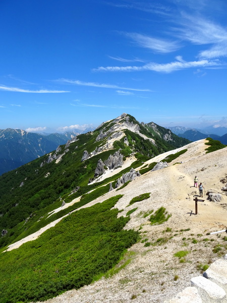
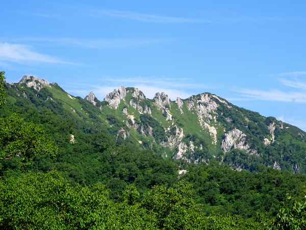 The Mt. Tsubakuro ridge.
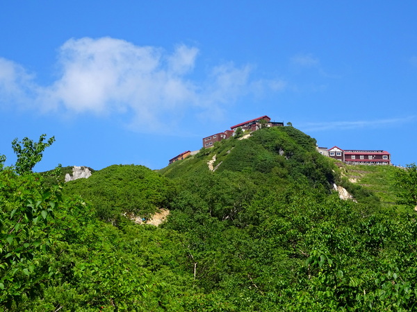 The lodge, at the top of the trail, comes into view.
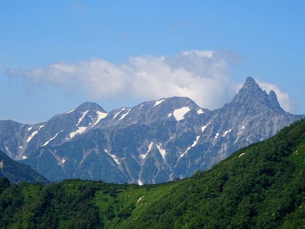 The Yari ridge gets bigger.
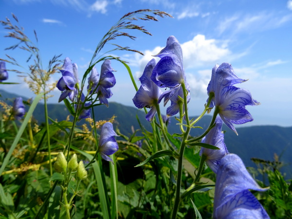
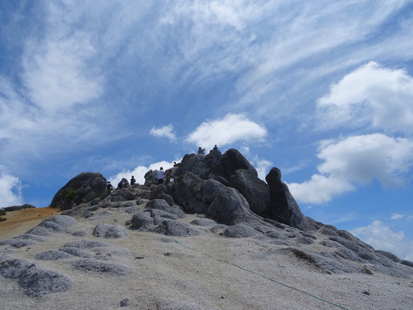
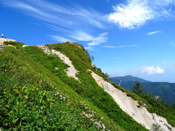 Almost to the ridge. Hints of the campsite.
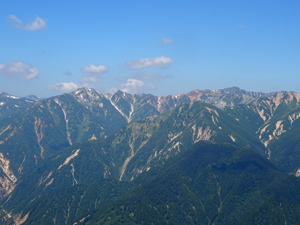
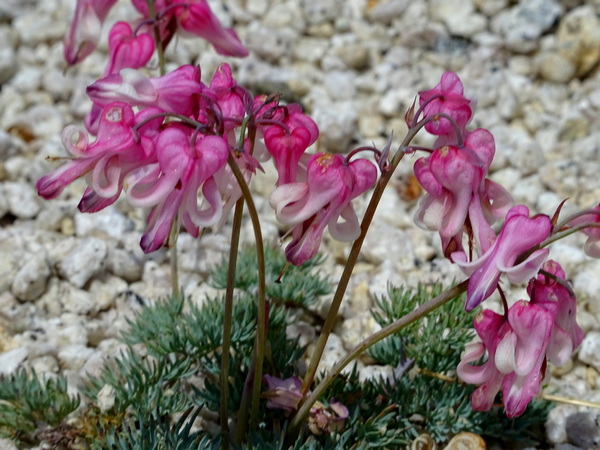 Komakusa flowers. Don’t know of any English name.
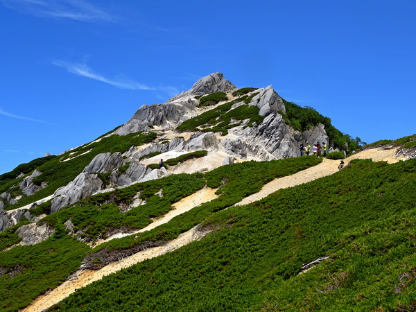
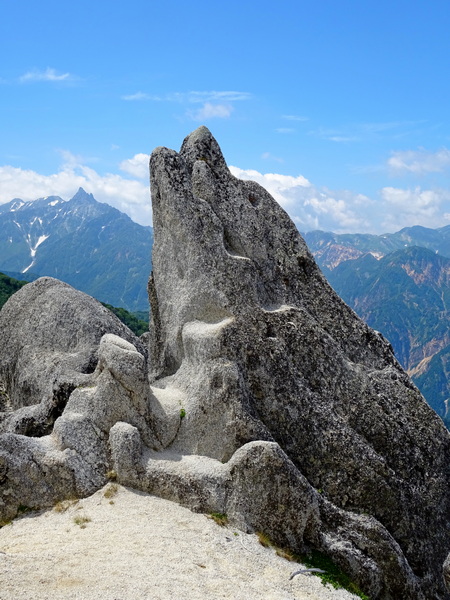
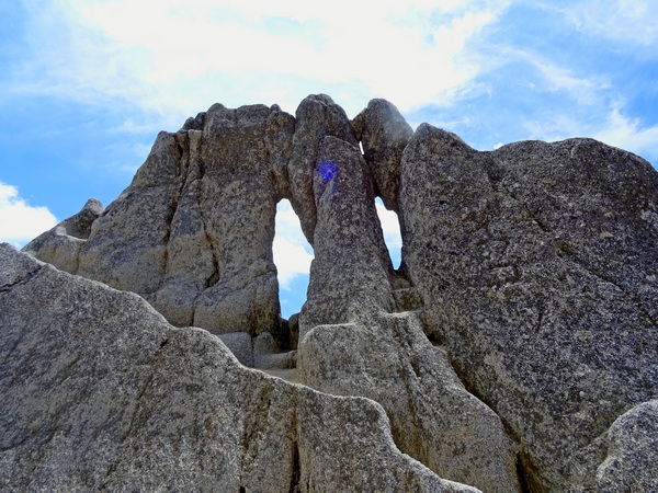 The megane (“eyeglasses”) rock.
 A week or so ago, I was lucky enough to get to visit a group of university students and talk about how writers use imagery to communicate ideas. I had students focus on images related to winter and summer.
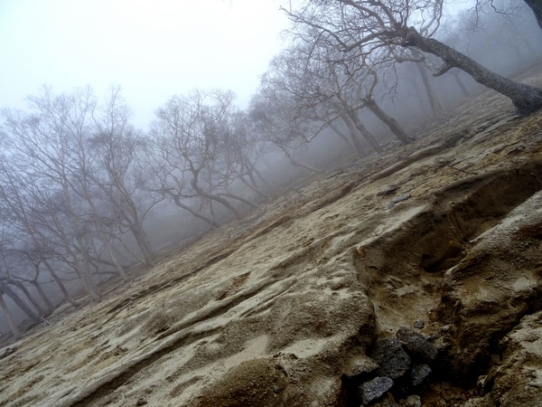
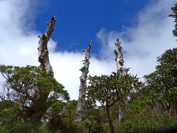
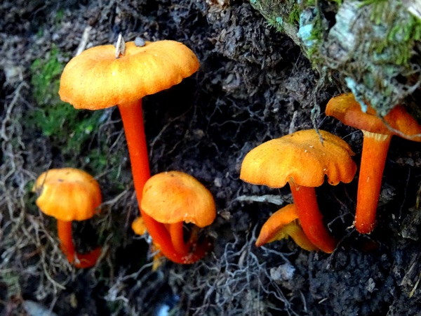
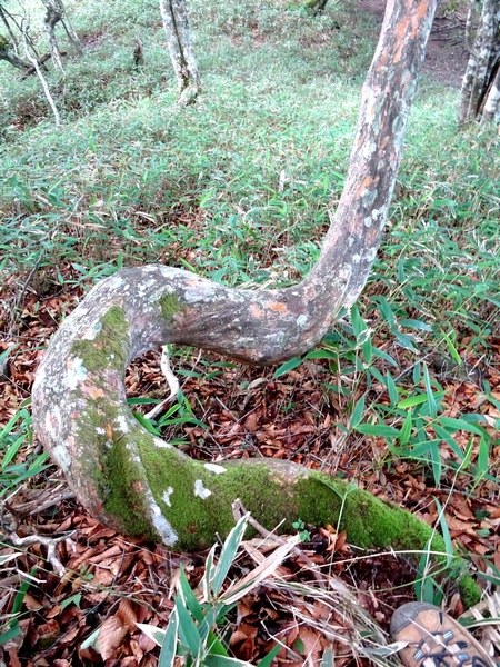 Things begin to vie for your attention. A tree might give you a little wiggle.
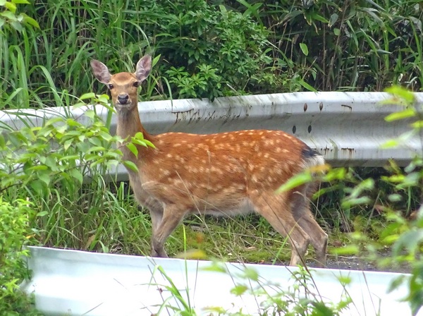 Folks may wander out in front of you, maybe sixty, seventy meters off, and dare you to find them.
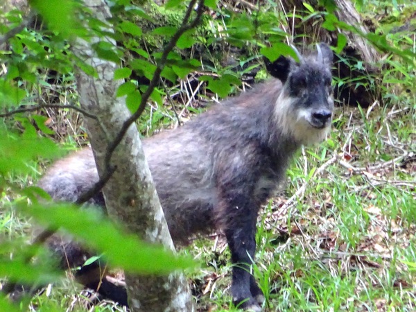
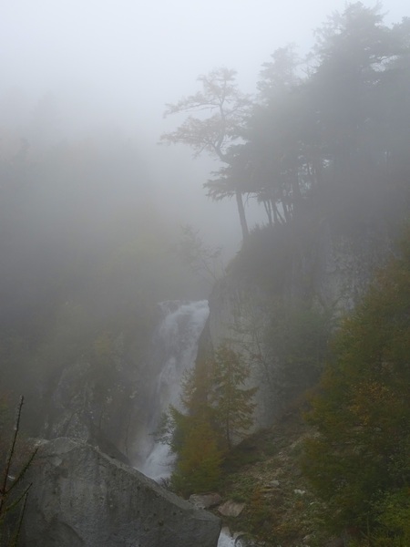
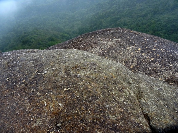
 Everyone may come out from the mist, to greet you, to be seen by you—if only for a minute or two.